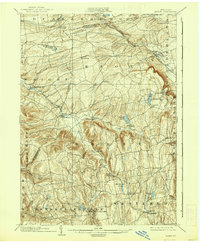
1903 Map of Berne
USGS Topo · Published 1938About this map
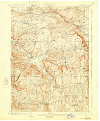
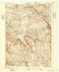
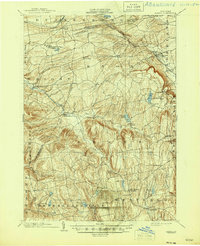
The steep escapement of the Helderberg Plateau dominates this turn-of-the-century landscape, where the Delaware and Hudson RR. winds through the northern valleys past Altamont and Delanson. This 1899-1900 survey captures a region of dispersed upland farming hamlets and early recreational sites, including the prominent John Boyd Thacher Park near the Indian Ladder. The map details a network of rural crossroads such as Van Leuvans Corners, West Berne, and Gallupville, situated along drainages like Fox Creek and the Switz Kill. To the south, Rensselaerville and Westerlo anchor a rugged terrain marked by glacial lakes, including Thompsons Lake and Warner Lake. The intricate contouring illustrates the difficult topography that dictated the placement of early roads and rail lines, separating the Schoharie and Hudson River watersheds through the towns of Berne and Knox.
Find a feature on this map
54 named features on this map. Tap any name to fly to it.
Don’t see what you’re looking for? This feature index may not catch every label — zoom into the map to look around manually.
Map Details
Editions of this 1903 Berne Map
8 editions found

Other maps of this area

1893 · Schenectady
USGS Topo · 1:62,500

1893 · Coxsackie
USGS Topo · 1:62,500

1893 · Durham
USGS Topo · 1:62,500

1893 · Albany
USGS Topo · 1:62,500

1894 · Coxsackie
USGS Topo · 1:62,500

1894 · Durham
USGS Topo · 1:62,500

1895 · Albany
USGS Topo · 1:62,500

1895 · Schenectady
USGS Topo · 1:62,500

1895 · Amsterdam
USGS Topo · 1:62,500

1896 · Fonda
USGS Topo · 1:62,500