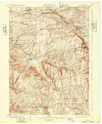
1903 Map of Berne
USGS Topo · Published 1932About this map
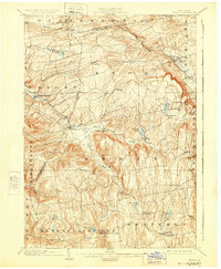
Altamont and the high escarpment of the Helderbergs dominate this turn-of-the-century landscape, where the Delaware and Hudson RR skirts the northern boundary near Quaker Street. The map details a transition from the rail-connected settlements in the north to the upland agricultural communities of Berne, Rensselaerville, and Westerlo. Notable landmarks like Indian Ladder and the newly established John Boyd Thacher Park highlight the area's significance as a destination for geological study and recreation, while the numerous kills and creeks, such as Fox Creek and Switz Kill, illustrate the drainage patterns that shaped local milling and settlement.
Find a feature on this map
53 named features on this map. Tap any name to fly to it.
Don’t see what you’re looking for? This feature index may not catch every label — zoom into the map to look around manually.
Map Details
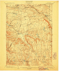
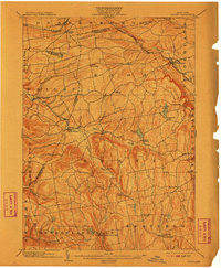
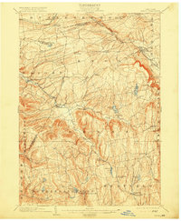
Editions of this 1903 Berne Map
8 editions found

Other maps of this area

1893 · Schenectady
USGS Topo · 1:62,500

1893 · Coxsackie
USGS Topo · 1:62,500

1893 · Durham
USGS Topo · 1:62,500

1893 · Albany
USGS Topo · 1:62,500

1894 · Coxsackie
USGS Topo · 1:62,500

1894 · Durham
USGS Topo · 1:62,500

1895 · Albany
USGS Topo · 1:62,500

1895 · Schenectady
USGS Topo · 1:62,500

1895 · Amsterdam
USGS Topo · 1:62,500

1896 · Fonda
USGS Topo · 1:62,500