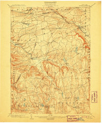
1903 Map of Berne
USGS Topo · Published 1907About this map
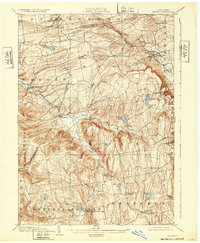
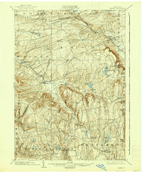
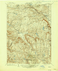
The Delaware and Hudson RR cuts across the northern corridor of this Albany County landscape, passing through the established rail hubs of Delanson and Quaker Street. The terrain is defined by the steep descent of the Helderberg Escarpment toward Altamont and the intricate drainage of Fox Creek, which links several small agricultural hamlets. Settlements like Berne, West Berne, and East Berne are clustered along these watercourses, illustrating the 19th-century reliance on mill power and valley transit. Further south, the map reveals the upland character of Rensselaerville and Westerlo, where numerous lakes and ponds like Thompsons Lake and Myosotis Lake suggest a transition toward the recreational and watershed uses that would define the area in the following century. The complex web of local roads connects isolated upland farms to the larger village centers, preserving a view of the region's rural distribution before modern highway development.
Find a feature on this map
56 named features on this map. Tap any name to fly to it.
Don’t see what you’re looking for? This feature index may not catch every label — zoom into the map to look around manually.
Map Details
Editions of this 1903 Berne Map
8 editions found

Other maps of this area

1893 · Schenectady
USGS Topo · 1:62,500

1893 · Coxsackie
USGS Topo · 1:62,500

1893 · Durham
USGS Topo · 1:62,500

1893 · Albany
USGS Topo · 1:62,500

1894 · Coxsackie
USGS Topo · 1:62,500

1894 · Durham
USGS Topo · 1:62,500

1895 · Albany
USGS Topo · 1:62,500

1895 · Schenectady
USGS Topo · 1:62,500

1895 · Amsterdam
USGS Topo · 1:62,500

1896 · Fonda
USGS Topo · 1:62,500