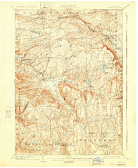
1903 Map of Berne
USGS Topo · Published 1928About this map
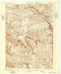
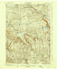
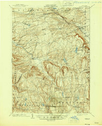
Quaker Street and Delanson anchor the northern reaches of this Helderberg plateau landscape, where the Delaware and Hudson RR. winds along the Normans Kill through Duanesburg. The terrain is defined by its deep creek valleys and high ridges, notably Wolf Hill, which overlooks the expanding John Boyd Thacher Park. This 1899-1900 survey documents a transition from the industrial rail corridors near Altamont to the more dispersed agricultural settlements to the south, such as Rensselaerville and Westerlo. Local water sources like Fox Creek and Tenmile Creek powered early settlement patterns, while interior hamlets like Peoria and South Berne appear connected by a dense network of early roads. The map captures the region before modern highway development, preserving the placement of rural intersections such as Van Leuvans Corners and the distinct shoreline of Warner Lake as they appeared at the turn of the century.
Find a feature on this map
50 named features on this map. Tap any name to fly to it.
Don’t see what you’re looking for? This feature index may not catch every label — zoom into the map to look around manually.
Map Details
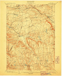
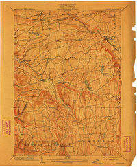
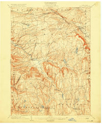
Editions of this 1903 Berne Map
8 editions found

Other maps of this area

1893 · Schenectady
USGS Topo · 1:62,500

1893 · Coxsackie
USGS Topo · 1:62,500

1893 · Durham
USGS Topo · 1:62,500

1893 · Albany
USGS Topo · 1:62,500

1894 · Coxsackie
USGS Topo · 1:62,500

1894 · Durham
USGS Topo · 1:62,500

1895 · Albany
USGS Topo · 1:62,500

1895 · Schenectady
USGS Topo · 1:62,500

1895 · Amsterdam
USGS Topo · 1:62,500

1896 · Fonda
USGS Topo · 1:62,500