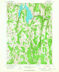
1953 Map of Alcove
USGS Topo · Published 1967About this map
Alcove Reservoir dominates the landscape of southern Albany County, serving as a primary hydrological feature fed by Hannacrois Creek. The surrounding terrain transitions from the rural uplands of Westerlo into the rolling hills of northern Greenville and New Baltimore in Greene County. Small hamlets like Alcove and Coeymans Hollow are established along the creek valleys, reflecting a settlement pattern tied to early water power and agricultural transport.
Find a feature on this map
54 named features on this map. Tap any name to fly to it.
Don’t see what you’re looking for? This feature index may not catch every label — zoom into the map to look around manually.
Map Details
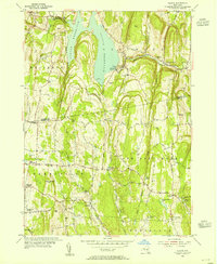
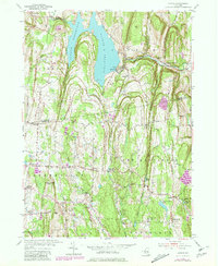
Editions of this 1953 Alcove Map
3 editions found
Other maps of this area

1893 · Coxsackie
USGS Topo · 1:62,500

1893 · Durham
USGS Topo · 1:62,500

1893 · Albany
USGS Topo · 1:62,500

1894 · Coxsackie
USGS Topo · 1:62,500

1894 · Durham
USGS Topo · 1:62,500

1895 · Albany
USGS Topo · 1:62,500

1898 · Albany
USGS Topo · 1:62,500

1900 · Berne
USGS Topo · 1:62,500

1903 · Berne
USGS Topo · 1:62,500

1927 · Albany
USGS Topo · 1:62,500