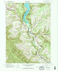
1945 Map of Prattsville
USGS Topo · Published 1966About this map
Prattsville sits at the heart of this mid-century landscape, where the Schoharie Creek meets the waters of the Batavia Kill. The mapping reflects a valley defined by significant water management and steep Catskill terrain, dominated in the north by the Schoharie Reservoir. The presence of numerous family and community burial sites, such as Huntersfield Cem, Fairlawn Cem, and Rappleyea Cem, points to a long-established rural population. The terrain is marked by prominent peaks like Bearpen Mtn and Negro Hill, while the local economy and social structure are represented by landmarks like School No 1 and the Little West Kill Sch. This survey, based on 1943 aerial photography, captures the area just as it enters the post-war era, with State Route 23 and State Route 30 serving as the primary arteries through the mountain passes.
Find a feature on this map
48 named features on this map. Tap any name to fly to it.
Don’t see what you’re looking for? This feature index may not catch every label — zoom into the map to look around manually.
Map Details
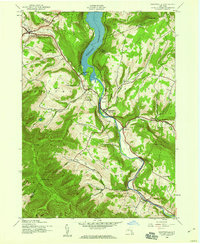
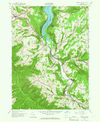
Editions of this 1945 Prattsville Map
3 editions found
Other maps of this area

1900 · Phoenicia
USGS Topo · 1:62,500

1901 · Margaretville
USGS Topo · 1:62,500

1901 · Gilboa
USGS Topo · 1:62,500

1903 · Gilboa
USGS Topo · 1:62,500

1903 · Phoenicia
USGS Topo · 1:62,500

1904 · Hobart
USGS Topo · 1:62,500

1904 · Margaretville
USGS Topo · 1:62,500

1945 · West Kill
USGS Topo · 1:24,000

1945 · Gilboa
USGS Topo · 1:24,000

1945 · Fleischmanns
USGS Topo · 1:24,000