
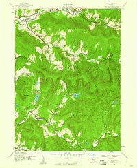
1945 Map of Fleischmanns
USGS Topo · Published 1946About this map
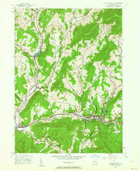
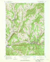
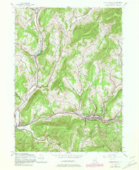
Fleischmanns and the surrounding high country of the western Catskills are defined by the narrow valleys of the Bush Kill and the East Branch Delaware River. Compiled from 1943 aerial photography, the landscape reflects a mountain economy transitioning from isolated agricultural hollows to a more connected valley corridor. The New York Central railroad serves as the primary artery through the terrain, passing through Arkville and skirting the edge of Catskill State Park. Many small family-named hollows like Bragg Hollow and Andrus Hollow indicate the deeply carved nature of the topography, while landmarks such as Lake Switzerland and Wawaka Lake highlight the area's development. Local genealogy is well-preserved through numerous small burial grounds, including the Schemehorn Cem and Scudder Cem, which remain alongside several rural schools that once served these dispersed mountain communities.
Find a feature on this map
53 named features on this map. Tap any name to fly to it.
Don’t see what you’re looking for? This feature index may not catch every label — zoom into the map to look around manually.
Map Details
Editions of this 1945 Fleischmanns Map
4 editions found
Other maps of this area

1900 · Phoenicia
USGS Topo · 1:62,500

1901 · Margaretville
USGS Topo · 1:62,500

1901 · Gilboa
USGS Topo · 1:62,500

1903 · Gilboa
USGS Topo · 1:62,500

1903 · Phoenicia
USGS Topo · 1:62,500

1904 · Hobart
USGS Topo · 1:62,500

1904 · Margaretville
USGS Topo · 1:62,500
1945 · Seager
USGS Topo · 1:24,000

1945 · West Kill
USGS Topo · 1:24,000
1945 · Arena
USGS Topo · 1:24,000