Old Maps of Halcott, New York
Explore 40 old maps of Halcott, spanning from 1900 to today. These high-resolution historic maps reveal how streets, neighborhoods, landmarks, and natural features evolved over time — perfect for genealogy, metal detecting, research, and local history exploration.
What you can do with these maps:
- See how Halcott changed over time: Compare historical maps to modern-day views to trace roads, homesites, rail lines & more.
- View detailed metadata: Each map includes creators, publishers, year, scale, and archive source.
- Overlay maps with satellite & LiDAR: Visualize the past alongside modern tools to explore terrain & human change.
- Trusted historical sources: Maps sourced from the USGS, Library of Congress, and other archives.
- Access maps your way: View online, download high-res files, or order prints for personal or research use.
Start exploring old maps of Halcott to uncover forgotten places, hidden landmarks, and the deep history beneath your feet.
Halcott, NY maps
(40)- 1900 Map of Phoenicia, 1963 Print
 1900 Phoenicia1963 Print · USGSThe high Catskills at the turn of the century are captured here in a moment of emerging tourism and mountain settlement. Genealogists and hikers can trace the original locations of the Grand Hotel, the remote Winnisook Lodge, and the rail stops at Mt Pleasant Station.
 - 1901 Map of Margaretville, 1961 Print
 1901 Margaretville1961 Print · USGSThe Catskills at the turn of the century are defined here by river-valley settlements and the Ulster and Delaware railroad line. Genealogists and historians can trace family-named hollows and vanished settlements like Grant Mills, Arena, and Griffin Corners.
 - 1901 Map of Gilboa, 1961 Print
 1901 Gilboa1961 Print · USGSThe northern Catskills at the start of the twentieth century reveal a landscape of river-valley hamlets and high mountain peaks. Genealogists and historians can trace original homesteads near Gilboa, Prattsville, and Livingstonville, or find landmarks like Pratt Rocks.
 - 1903 Map of Gilboa
 1903 Gilboa1903 Print · USGSThe Schoharie Valley at the turn of the century shows a landscape of clustered hamlets and prominent mountain peaks before major regional changes. Researchers can trace the layout of early settlements like Gilboa and Prattsville, or locate family landmarks such as Pratt Rocks and Manorkill Falls.9 unique versions available
 - 1903 Map of Phoenicia
 1903 Phoenicia1903 Print · USGSThe Catskills come alive at the turn of the century, showing the mountain rail corridor and early grand resorts. Researchers can trace the Ulster and Delaware line through Phoenicia to the Highmount Grand Hotel and Winnisook Lodge.9 unique versions available
 - 1904 Map of Hobart
 1904 Hobart1904 Print · USGSThe northern Catskills and Delaware River headwaters come to life in this study of the region just after the turn of the century. You can trace the Ulster and Delaware rail line through high-elevation settlements like Stamford, Hobart, and Roxbury.5 unique versions available
 - 1904 Map of Margaretville
 1904 Margaretville1904 Print · USGSThe Catskills' high-valley communities thrive along the Ulster and Delaware RR at the turn of the century. Trace old family farmsteads and rural mountain hamlets like Arena, New Kingston, and Griffin Corners as they appeared in 1904.7 unique versions available
 - 1945 Map of West Kill, 1946 Print
 1945 West Kill1946 Print · USGSThe High Peaks region of the Catskills is captured here at the close of the 1940s, showing a landscape defined by deep valleys and timbered ridges. Genealogists can trace family names and sites like Halcott Cem, Bushnellsville, and several local schoolhouses including School No 2.
 - 1945 Map of Fleischmanns, 1946 Print
 1945 Fleischmanns1946 Print · USGSFleischmanns and the rugged Delaware County highlands are captured here just after the war, showing the mountain hollows and valley settlements in detail. Genealogists can trace family-named sites like Schemehorn Cem, Denver Sch, and the rail stops of the New York Central.4 unique versions available
 - 1945 Map of Roxbury, 1960 Print
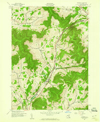 1945 Roxbury1960 Print · USGSDelaware County's high valleys and mountain hollows are captured here just after the war, when the river and rail were the lifeblood of the Catskills. Genealogists and historians can trace family locations through Moffit Settlement, the rural Township Ch, and the rail hub at Grand Gorge.4 unique versions available
 - 1945 Map of Prattsville, 1960 Print
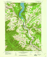 1945 Prattsville1960 Print · USGSThe northern Catskills appear here in the mid-1940s as a landscape of steep ridges and valley settlements tied to the Schoharie Creek. Researchers can trace rural life through sites like School No 1 or family burial grounds such as Huntersfield Cem and Rappleyea Cem.3 unique versions available
 - 1946 Map of Roxbury
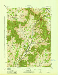 1946 Roxbury1946 Print · USGSMid-century Delaware County was defined by its tight mountain valleys and the New York Central railroad. Researchers can trace the layout of small communities like Grand Gorge and Roxbury, alongside local landmarks like Tyler Cem.
 - 1946 Map of Prattsville
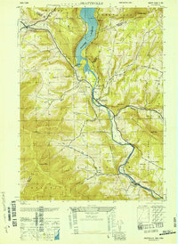 1946 Prattsville1946 Print · USGSThe Catskills in the 1940s reveal a landscape of high peaks and managed waters. Genealogists can trace family roots through numerous small burial grounds like Fairlawn Cem and Huggins Cem, or locate local landmarks like School No 1.
 - 1946 Map of Fleischmanns
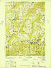 1946 Fleischmanns1946 Print · USGSThe Delaware County highlands come into sharp focus in the mid-1940s as the rail and river economy defined life in the valleys. Genealogists and local historians can trace family locations near Schemehorn Cem, identify the old Denver School, or locate the New York Central route through Arkville.
 - 1948 Map of Binghamton, 1980 Print
 1948 Binghamton1980 Print · USGSCentral New York and the Southern Tier thrive in the late 1940s as a hub of rail traffic and mountain industry. Researchers can trace historic transit lines like the Erie Railroad through Binghamton or find old valley settlements near Oneonta and Delhi.
 - 1950 Map of Binghamton
 1950 Binghamton1950 Print · USGSBinghamton and the surrounding Southern Tier are shown in the mid-century era, highlighting the intricate rail and river networks that drove local industry. Researchers can trace the path of the Erie Railroad and locate landmarks from Otsego Lake to Sidney Mountain.2 unique versions available
 - 1958 Map of Binghamton
 1958 Binghamton1958 Print · USGSCentral New York in the late fifties was a network of manufacturing cities and river valleys connected by vital rail lines. Genealogists and historians can trace family roots in Oneonta, Norwich, and Cooperstown or locate long-standing farms along Schoharie Creek.
 - 1960 Map of West Kill, 1962 Print
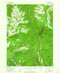 1960 West Kill1962 Print · USGSThe high Catskills of Greene, Ulster, and Delaware counties appear in this mid-century survey as a landscape of isolated mountain hollows and narrow valley roads. Genealogists and local historians can locate Halcott Cem, trace the New York Central rail line near Highmount, and find early school sites like the Hunter Tannersville Central Sch.3 unique versions available
 - 1963 Map of Binghamton
 1963 Binghamton1963 Print · USGSThe Southern Tier and Catskill peaks are shown in the early sixties as new reservoirs reshaped the valleys. Trace historic rail corridors like the Erie Lackawanna RR and explore lakeside settlements such as Cooperstown and Oneonta.
 - 1986 Map of Pepacton Reservoir
 1986 Pepacton Reservoir1986 Print · USGSThe Catskills in the mid-eighties show a landscape shaped by the Pepacton Reservoir and protected wilderness. Local historians can trace mountain rail corridors like the Delaware & Ulster RR and locate high-elevation landmarks from Slide Mountain to Hunter Mountain.2 unique versions available
 - 2010 Map of Fleischmanns, 2010 Print
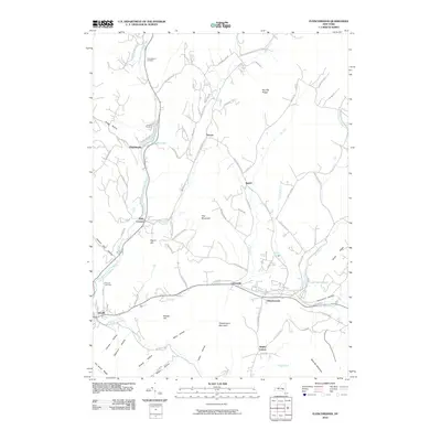 2010 Fleischmanns2010 Print · USGSThe Catskill valley settlements of Delaware County are captured here during a period of modern stability in the early twenty-first century. Researchers can trace family history through several burial sites including Arkville Cemetery or locate landmarks like Lake Switzerland and Fleischmann Mountain.
 - 2010 Map of Prattsville, 2010 Print
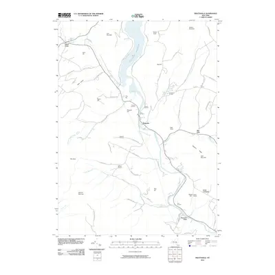 2010 Prattsville2010 Print · USGSThe northern Catskills appear in great detail here, centered on the Prattsville valley and the Schoharie Reservoir. Genealogists and local historians can locate numerous family burial sites like Huggins Cemetery and landmarks such as Hardenburgh Falls or Maben Airport.
 - 2010 Map of Roxbury, 2010 Print
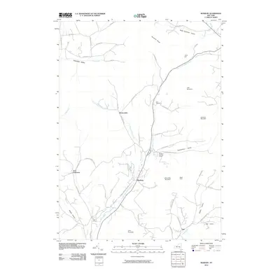 2010 Roxbury2010 Print · USGSRoxbury and the high Catskill valleys are captured here in the early twenty-first century, showing the enduring pattern of mountain settlements. Trace local history through the Tyler Cemetery and high-elevation homesteads like Hardscrabble and More Settlement.
 - 2010 Map of West Kill, 2010 Print
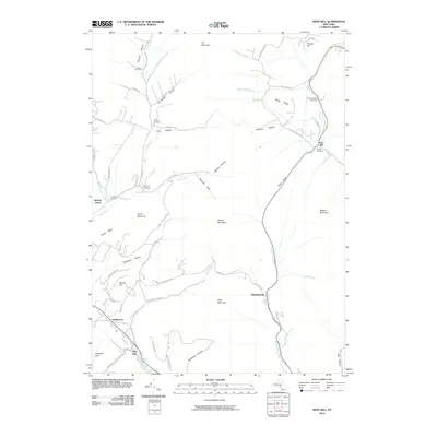 2010 West Kill2010 Print · USGSThe high Catskill valleys of Delaware and Greene Counties appear in detail in the early twenty-first century. Researchers can trace remote family burial sites like Schermerhorn Cemetery and Elk Creek Cemetery or explore the rugged passes of Deep Notch.
 - 2013 Map of West Kill, 2013 Print
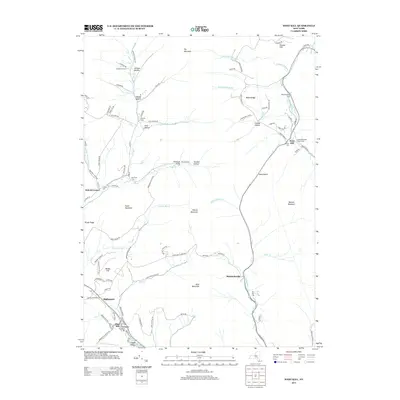 2013 West Kill2013 Print · USGSThe high peaks and deep hollows of the Catskills are meticulously detailed in this 2013 survey of Delaware County and its neighbors. Genealogists and hikers can trace historic burial sites like Schermerhorn Cem or follow the old Ulster & Delaware rail route near Pine Hill.
Showing maps 1-25 of 40
Top cities near Halcott
- Woodstock historical maps
- Olive historical maps
- Middletown historical maps
- Rockland historical maps
- Hunter historical maps
- Shandaken historical maps
See more
Top neighborhoods of Halcott
Frequently asked questions
- What are the different types of historical maps available for Halcott?
- What is the oldest map of Halcott?
- Where can I purchase historical maps of Halcott for my home or office?
- Where can I download high-res historical maps of Halcott?
- Are there historical topographic maps available for Halcott?
- Is there historical aerial imagery available for Halcott?
- Where are historical maps of Halcott sourced from?