2000s (21st Century) Maps of Halcott, New York
Explore 20 historic maps of Halcott from the 2000s (21st Century). These maps offer a rare glimpse into what life looked like during the 2000s — showing old roads, neighborhoods, homes, and landmarks that have changed or disappeared over time.
Whether you're researching your family's past, planning a metal detecting trip, or studying how Halcott's landscape evolved across the 2000s, these high-resolution maps are a powerful tool for exploring the history of this region.
- Focus on a specific era: All maps on this page are from the 2000s, giving you a focused view of this time period.
- See what’s changed: Compare century-old streets, trails, and buildings to today's modern landscape using overlays and satellite layers.
- Research with precision: Use these maps for genealogy, historical research, land use analysis, or educational projects.
- View, download, or print: Maps are fully viewable online in high resolution, and can be downloaded or printed for your own records.
Start exploring Halcott's history through authentic maps from the 2000s. This is your window into the past.
Halcott, NY maps
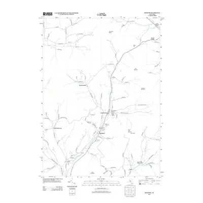
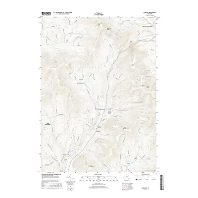
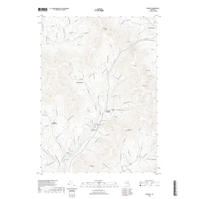
(20)- 2010 Map of Fleischmanns, 2010 Print
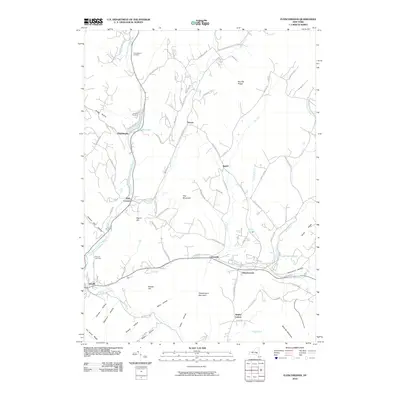 2010 Fleischmanns2010 Print · USGSCovers Halcott, including Middletown, Shandaken, and other nearby areas
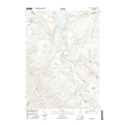
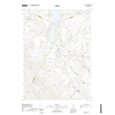
 - 2010 Map of Prattsville, 2010 Print
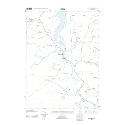
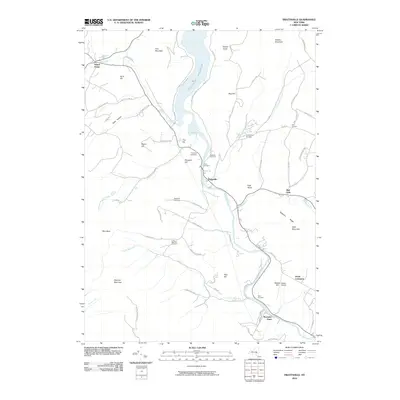 2010 Prattsville2010 Print · USGSCovers Halcott, including Roxbury, Gilboa, and other nearby areas
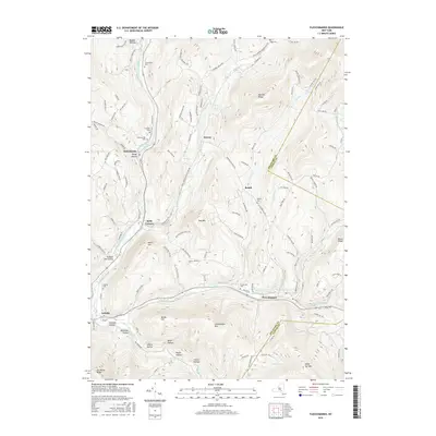
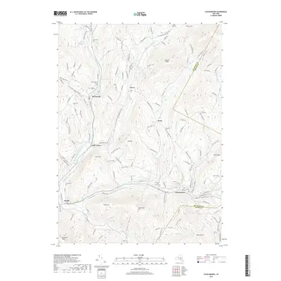
 - 2010 Map of Roxbury, 2010 Print
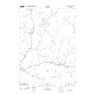
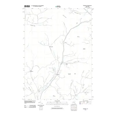 2010 Roxbury2010 Print · USGSCovers Halcott, including Roxbury, Stamford, and other nearby areas
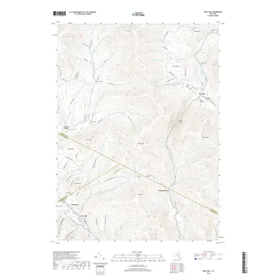
 - 2010 Map of West Kill, 2010 Print
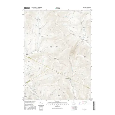
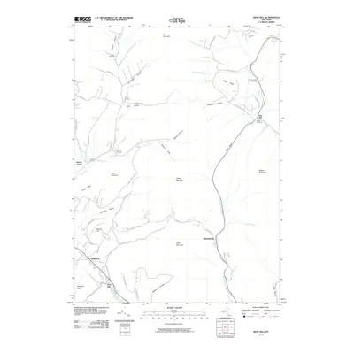 2010 West Kill2010 Print · USGSCovers Halcott, including Middletown, Shandaken, and other nearby areas
 - 2013 Map of West Kill, 2013 Print
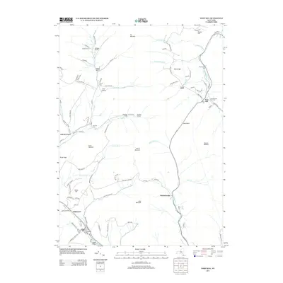 2013 West Kill2013 Print · USGSCovers Halcott, including Middletown, Shandaken, and other nearby areas
 - 2013 Map of Fleischmanns, 2013 Print
 2013 Fleischmanns2013 Print · USGSCovers Halcott, including Middletown, Shandaken, and other nearby areas
 - 2013 Map of Prattsville, 2013 Print
 2013 Prattsville2013 Print · USGSCovers Halcott, including Roxbury, Gilboa, and other nearby areas
 - 2013 Map of Roxbury, 2013 Print
 2013 Roxbury2013 Print · USGSCovers Halcott, including Roxbury, Stamford, and other nearby areas
 - 2016 Map of West Kill, 2016 Print
 2016 West Kill2016 Print · USGSCovers Halcott, including Middletown, Shandaken, and other nearby areas
 - 2016 Map of Roxbury, 2016 Print
 2016 Roxbury2016 Print · USGSCovers Halcott, including Roxbury, Stamford, and other nearby areas
 - 2016 Map of Prattsville, 2016 Print
 2016 Prattsville2016 Print · USGSCovers Halcott, including Roxbury, Gilboa, and other nearby areas
 - 2016 Map of Fleischmanns, 2016 Print
 2016 Fleischmanns2016 Print · USGSCovers Halcott, including Middletown, Shandaken, and other nearby areas
 - 2019 Map of Roxbury, 2019 Print
 2019 Roxbury2019 Print · USGSCovers Halcott, including Roxbury, Stamford, and other nearby areas
 - 2019 Map of West Kill, 2019 Print
 2019 West Kill2019 Print · USGSCovers Halcott, including Middletown, Shandaken, and other nearby areas
 - 2019 Map of Prattsville, 2019 Print
 2019 Prattsville2019 Print · USGSCovers Halcott, including Roxbury, Gilboa, and other nearby areas
 - 2019 Map of Fleischmanns, 2019 Print
 2019 Fleischmanns2019 Print · USGSCovers Halcott, including Middletown, Shandaken, and other nearby areas
 - 2023 Map of Fleischmanns, 2023 Print
 2023 Fleischmanns2023 Print · USGSDelaware County communities like Fleischmanns and Arkville are captured in this recent survey of the Catskill high country. Genealogists can locate family sites at the Clovesville Irish Catholic Cem or Wood Cem, while hikers and historians trace the German Hollow Trl.
 - 2023 Map of Prattsville, 2023 Print
 2023 Prattsville2023 Print · USGSThe Catskill peaks and valleys surrounding the Schoharie Creek borders appear in detailed 2023 terrain mapping. Genealogists can locate several family burial grounds, including Rappelea Cem, Deyo Cem, and the prominent Pratt Rocks overlook.
 - 2023 Map of West Kill, 2023 Print
 2023 West Kill2023 Print · USGSThe High Peaks of the Catskills meet at the Greene, Delaware, and Ulster county lines in this modern topographic study. Genealogists can locate family landmarks like the Schermerhorn Cem, Halcott Cem, and the village of Bushnellsville.
 - 2023 Map of Roxbury, 2023 Print
 2023 Roxbury2023 Print · USGSThe Delaware County highlands are mapped in detail during this contemporary period, centering on the Roxbury valley. Genealogists can trace family landmarks and burial sites like Moffit Settlement, Yellow Church, and Tyler Cem across the varied Catskill terrain.
End of results
Showing maps 1-20 of 20
Top cities near Halcott
- Woodstock historical maps
- Olive historical maps
- Middletown historical maps
- Rockland historical maps
- Hunter historical maps
- Shandaken historical maps
See more
Top neighborhoods of Halcott
Frequently asked questions
- What are the different types of historical maps available for Halcott?
- What is the oldest map of Halcott?
- Where can I purchase historical maps of Halcott for my home or office?
- Where can I download high-res historical maps of Halcott?
- Are there historical topographic maps available for Halcott?
- Is there historical aerial imagery available for Halcott?
- Where are historical maps of Halcott sourced from?