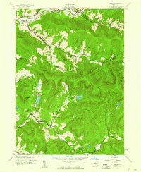
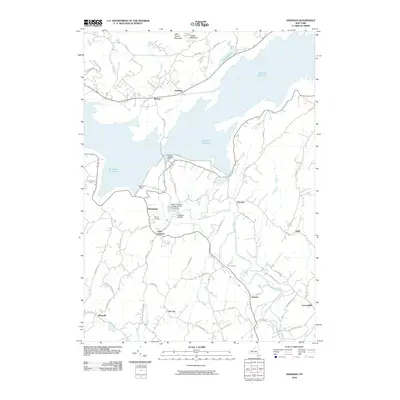
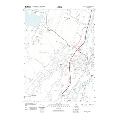
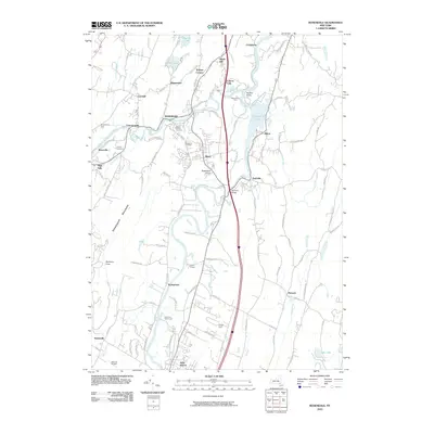
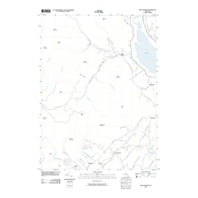
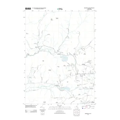
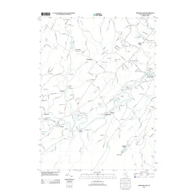
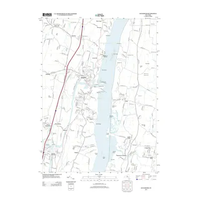
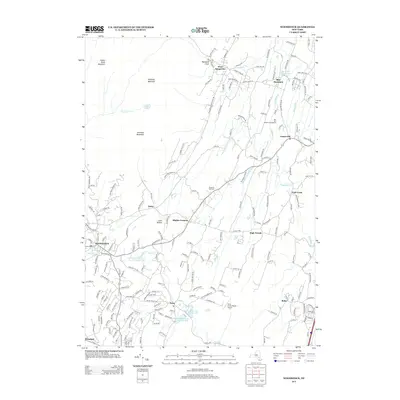
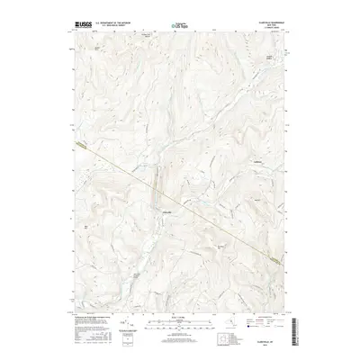
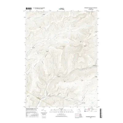
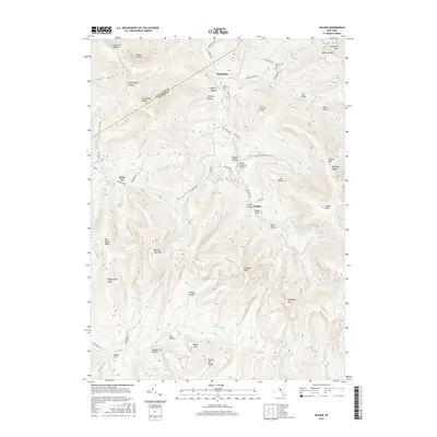
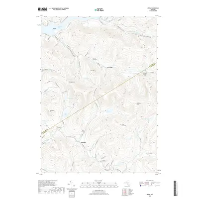
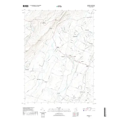
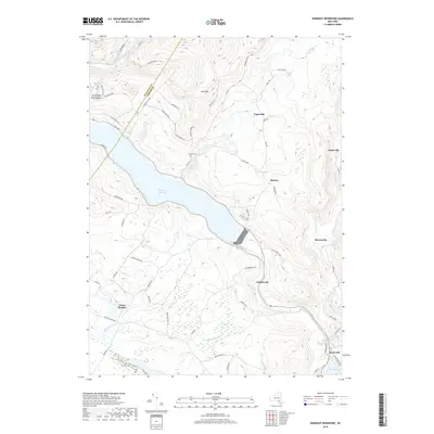
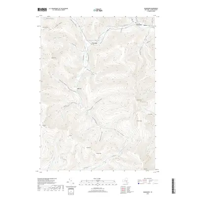
1945 Map of Arena
USGS Topo · Published 1960About this map
The East Branch Delaware River flows through the northern reaches of this Delaware and Ulster County landscape, passing the small settlement of Arena and a nearby Gaging Station. This mid-century survey captures a valley system defined by the transition from riverfront communities to the high elevations of Catskill State Park. To the south, the Beaver Kill valley holds the hamlet of Hardenburg and several remote landmarks, including Old Stone Sch and School No 8.
Find a feature on this map
53 named features on this map. Tap any name to fly to it.
Don’t see what you’re looking for? This feature index may not catch every label — zoom into the map to look around manually.
Map Details
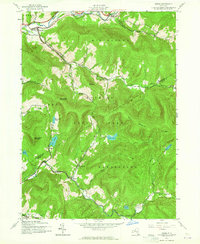
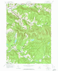
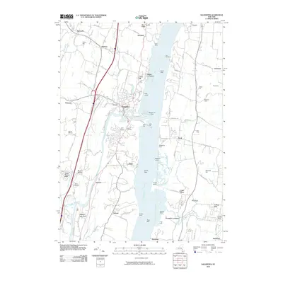
Editions of this 1945 Arena Map
4 editions found
Historical Maps of Middletown Through Time
122 maps found

1901 Rosendale
Ulster County, NY

1903 Newburgh
Ulster County, NY

1903 Rosendale
Ulster County, NY

1903 Slide Mountain
Ulster County, NY

1905 Slide Mountain
Ulster County, NY

1942 Ashokan
Ulster County, NY

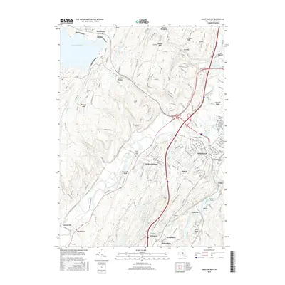
1942 Kingston West
Ulster County, NY

1942 Lackawack
Ulster County, NY

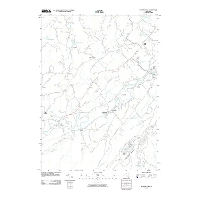
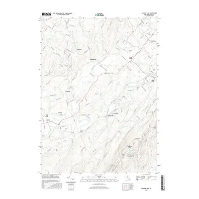
1942 Mohonk Lake
Ulster County, NY

1942 Rosendale
Ulster County, NY

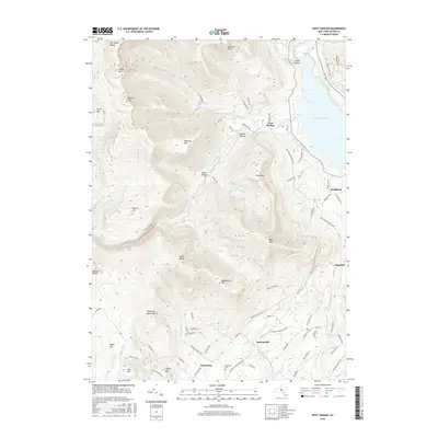
1942 West Shokan
Ulster County, NY

1943 Ashokan
Ulster County, NY

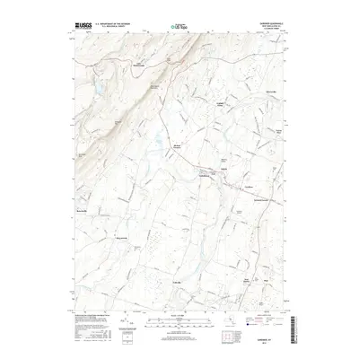
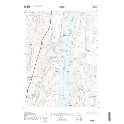
1943 Gardiner
Ulster County, NY

1943 Kingston West
Ulster County, NY

1943 Lackawack
Ulster County, NY

1943 Mohonk Lake
Ulster County, NY

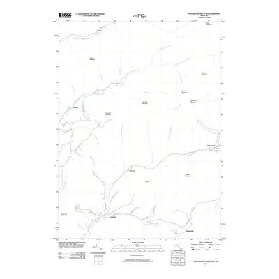
1943 Peekamoose Mountain
Ulster County, NY

1943 Rosendale
Ulster County, NY

1943 West Shokan
Ulster County, NY

1945 Arena
Ulster County, NY

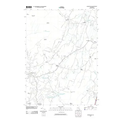
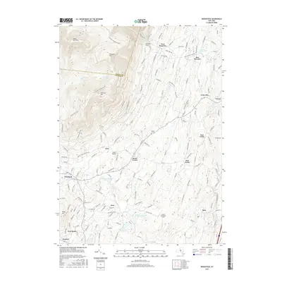
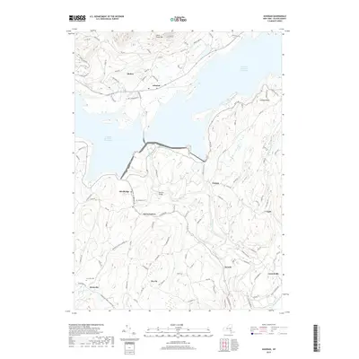
1945 Bearsville
Ulster County, NY

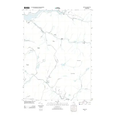
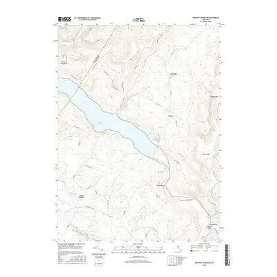
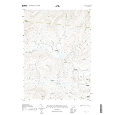
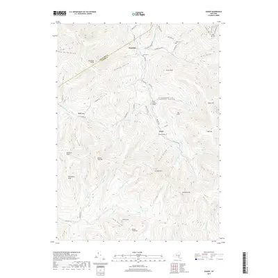
1945 Seager
Ulster County, NY

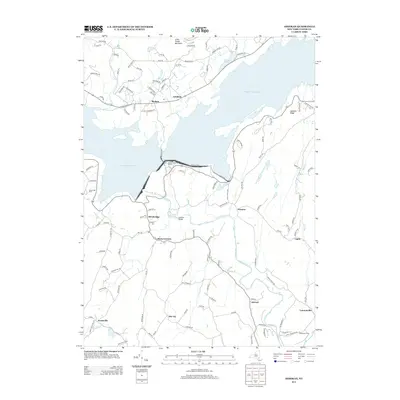
1945 Woodstock
Ulster County, NY

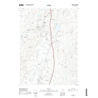
1946 Arena
Ulster County, NY

1946 Bearsville
Ulster County, NY

1946 Newburgh
Ulster County, NY

1946 Plattekill
Ulster County, NY

1946 Seager
Ulster County, NY

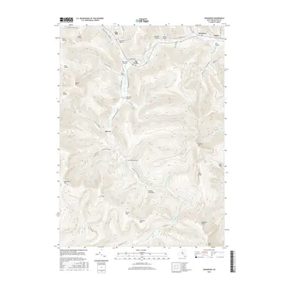
1946 Shandaken
Ulster County, NY

1957 Gardiner
Ulster County, NY

1960 Shandaken
Ulster County, NY

1963 Saugerties
Ulster County, NY

1964 Ashokan
Ulster County, NY

1964 Kingston West
Ulster County, NY

1964 Mohonk Lake
Ulster County, NY

1964 Rosendale
Ulster County, NY

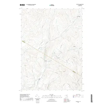
1966 Claryville
Ulster County, NY

1969 Peekamoose Mtn
Ulster County, NY

1969 Rondout Reservior
Ulster County, NY

1969 West Shokan
Ulster County, NY

1980 Kingston West
Ulster County, NY

1997 Bearsville
Ulster County, NY

1997 Kingston West
Ulster County, NY

1997 Peekamoose Mtn
Ulster County, NY

1997 Saugerties
Ulster County, NY

1997 Shandaken
Ulster County, NY

1997 West Shokan
Ulster County, NY
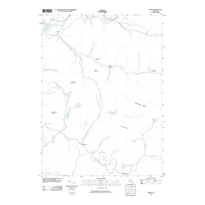
2010 Arena
Ulster County, NY
2010 Ashokan
Ulster County, NY
2010 Bearsville
Ulster County, NY
2010 Claryville
Ulster County, NY
2010 Gardiner
Ulster County, NY
2010 Kingston West
Ulster County, NY
2010 Mohonk Lake
Ulster County, NY
2010 Peekamoose Mountain
Ulster County, NY
2010 Rondout Reservoir
Ulster County, NY
2010 Rosendale
Ulster County, NY
2010 Saugerties
Ulster County, NY
2010 Seager
Ulster County, NY
2010 Shandaken
Ulster County, NY
2010 West Shokan
Ulster County, NY
2010 Woodstock
Ulster County, NY
2013 Arena
Ulster County, NY
2013 Ashokan
Ulster County, NY
2013 Bearsville
Ulster County, NY
2013 Claryville
Ulster County, NY
2013 Gardiner
Ulster County, NY
2013 Kingston West
Ulster County, NY
2013 Mohonk Lake
Ulster County, NY
2013 Peekamoose Mountain
Ulster County, NY
2013 Rondout Reservoir
Ulster County, NY
2013 Rosendale
Ulster County, NY
2013 Saugerties
Ulster County, NY
2013 Seager
Ulster County, NY
2013 Shandaken
Ulster County, NY
2013 West Shokan
Ulster County, NY
2013 Woodstock
Ulster County, NY
2016 Arena
Ulster County, NY
2016 Ashokan
Ulster County, NY
2016 Bearsville
Ulster County, NY
2016 Claryville
Ulster County, NY
2016 Gardiner
Ulster County, NY
2016 Kingston West
Ulster County, NY
2016 Mohonk Lake
Ulster County, NY
2016 Peekamoose Mountain
Ulster County, NY
2016 Rondout Reservoir
Ulster County, NY
2016 Rosendale
Ulster County, NY
2016 Saugerties
Ulster County, NY
2016 Seager
Ulster County, NY
2016 Shandaken
Ulster County, NY
2016 West Shokan
Ulster County, NY
2016 Woodstock
Ulster County, NY
2019 Arena
Ulster County, NY
2019 Ashokan
Ulster County, NY
2019 Bearsville
Ulster County, NY
2019 Claryville
Ulster County, NY
2019 Gardiner
Ulster County, NY
2019 Kingston West
Ulster County, NY
2019 Mohonk Lake
Ulster County, NY
2019 Peekamoose Mountain
Ulster County, NY
2019 Rondout Reservoir
Ulster County, NY
2019 Rosendale
Ulster County, NY
2019 Saugerties
Ulster County, NY
2019 Seager
Ulster County, NY
2019 Shandaken
Ulster County, NY
2019 West Shokan
Ulster County, NY
2019 Woodstock
Ulster County, NY

2023 Arena
Ulster County, NY

2023 Ashokan
Ulster County, NY

2023 Bearsville
Ulster County, NY

2023 Claryville
Ulster County, NY

2023 Gardiner
Ulster County, NY

2023 Kingston West
Ulster County, NY

2023 Mohonk Lake
Ulster County, NY

2023 Peekamoose Mountain
Ulster County, NY

2023 Rondout Reservoir
Ulster County, NY

2023 Rosendale
Ulster County, NY

2023 Saugerties
Ulster County, NY

2023 Seager
Ulster County, NY

2023 Shandaken
Ulster County, NY

2023 West Shokan
Ulster County, NY

2023 Woodstock
Ulster County, NY