
1924 Map of Andes
USGS Topo · Published 1924About this map
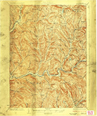
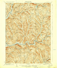
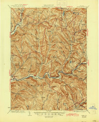
Shavertown and Pepacton occupy the valley floor along the East Branch Delaware River, serving as central hubs for a network of hollows in the Catskill region. This 1920s landscape is defined by its rural infrastructure, with nearly every drainage basin supporting its own local schoolhouse, including the Tiffany Hollow School, Miller Hollow School, and Barkaboom School. The topography is shaped by prominent peaks such as Campbell Mountain and the distinctive Devils Backbone, which separate the various cloves and hollows.
Find a feature on this map
83 named features on this map. Tap any name to fly to it.
Don’t see what you’re looking for? This feature index may not catch every label — zoom into the map to look around manually.
Map Details
Editions of this 1924 Andes Map
4 editions found
Other maps of this area

1901 · Margaretville
USGS Topo · 1:62,500

1904 · Hobart
USGS Topo · 1:62,500

1904 · Margaretville
USGS Topo · 1:62,500

1909 · Delhi
USGS Topo · 1:62,500

1910 · Neversink
USGS Topo · 1:62,500

1911 · Delhi
USGS Topo · 1:62,500

1915 · Oneonta
USGS Topo · 1:62,500

1918 · Oneonta
USGS Topo · 1:62,500

1920 · Long Eddy
USGS Topo · 1:62,500

1921 · Long Eddy
USGS Topo · 1:48,000