
1918 Map of Oneonta
USGS Topo · Published 1918About this map
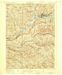
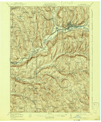
The Susquehanna River carves a deep valley through this section of the Northern Allegheny Plateau, serving as the primary corridor for regional transport and settlement in the early twentieth century. The city of Oneonta appears as a dense hub at the confluence of Oneonta Creek and the river, where the Delaware and Hudson and Ulster and Delaware railroads meet. This industrial and transit activity contrasts with the agricultural character of the surrounding hills, which are dotted with dozens of numbered rural schools and small milk-processing sites like the Arctic Creamery. South of the river, the landscape is defined by long, parallel ridges and valleys such as Bartlett Hollow and Bennett Hollow, where the New York Ontario and Western railway threads through Franklin Depot and Merrickville. The map captures a high-density network of upland farming communities, many centered on small water bodies like Emmons Pond and Chisholm Pond.
Find a feature on this map
93 named features on this map. Tap any name to fly to it.
Don’t see what you’re looking for? This feature index may not catch every label — zoom into the map to look around manually.
Map Details
Editions of this 1918 Oneonta Map
3 editions found
Other maps of this area

1907 · Cooperstown
USGS Topo · 1:62,500

1909 · Cooperstown
USGS Topo · 1:62,500

1909 · Delhi
USGS Topo · 1:62,500

1910 · Hartwick
USGS Topo · 1:62,500

1910 · New Berlin
USGS Topo · 1:62,500

1911 · Delhi
USGS Topo · 1:62,500

1912 · New Berlin
USGS Topo · 1:62,500

1912 · Hartwick
USGS Topo · 1:62,500

1915 · Oneonta
USGS Topo · 1:62,500

1915 · Unadilla
USGS Topo · 1:62,500