Loading...
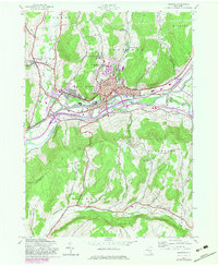
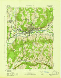
Loading map...1943 Map of Oneonta
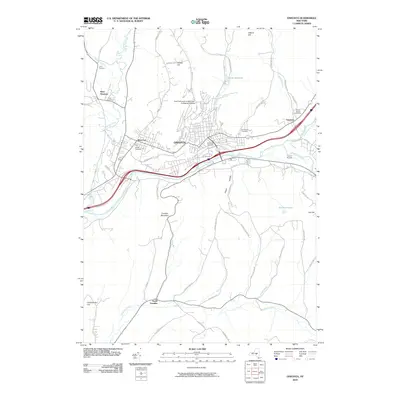
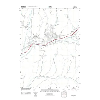
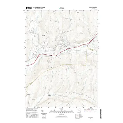
USGS Topo · Published 1983About this map
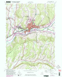
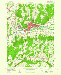
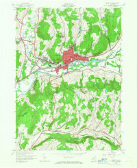
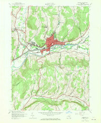
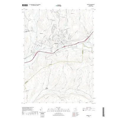
Oneonta serves as the focal point of this 1943 survey, updated with 1980s aerial data to show the city's expansion along the Susquehanna River. The map illustrates a significant academic presence with both Hartwick College and the State Univ of New York College at Oneonta overlooking the valley. The industrial and transportation corridor follows the Delaware and Hudson RR and Main Street, defining the urban core between the steep slopes of Franklin Mountain and Gifford Hill.
Find a feature on this map
49 named features on this map. Tap any name to fly to it.
Don’t see what you’re looking for? This feature index may not catch every label — zoom into the map to look around manually.
Map Details
Date Portrayed1943
Date Published1983
PublisherU.S. Geological Survey
Map TypeTopographic
Scale1:24,000
Physical Dimensions21.7 x 26.9 inches
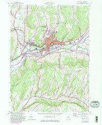
Editions of this 1943 Oneonta Map
6 editions found
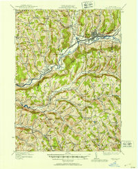
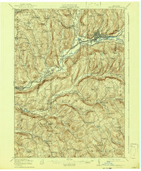
Historical Maps of Oneonta Through Time
9 maps found

Featured Locations
Source Details
SourceU.S. Geological Survey
CopyrightPublic Domain