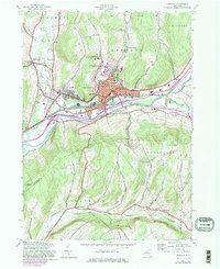
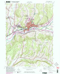
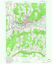
1943 Map of Oneonta
USGS Topo · Published 1983About this map
Hartwick College and the State Univ of New York College at Oneonta overlook the valley where the Susquehanna River and Oneonta Creek converge. This map documents a period of significant mid-century expansion for Oneonta, showing its transition from a railroad-centric industrial hub to a regional educational center. The extensive yards of the Delaware and Hudson Railroad dominate the riverfront, supporting local industries and neighboring settlements like West Oneonta and Emmons. Beyond the urban core, the landscape rises sharply into Franklin Mountain and Winnie Hill, where the rural character remains preserved through a network of small schoolhouses and family landmarks. Genealogists can trace local burials at Plains Cem and Mt Calvary Cem, while the southern reaches of the map show the agricultural layout near North Franklin and the Ouleout Ch along the banks of Ouleout Creek.
Find a feature on this map
46 named features on this map. Tap any name to fly to it.
Don’t see what you’re looking for? This feature index may not catch every label — zoom into the map to look around manually.
Map Details
Editions of this 1943 Oneonta Map
6 editions found
Other maps of this area

1907 · Cooperstown
USGS Topo · 1:62,500

1909 · Cooperstown
USGS Topo · 1:62,500

1909 · Delhi
USGS Topo · 1:62,500

1910 · Hartwick
USGS Topo · 1:62,500

1911 · Delhi
USGS Topo · 1:62,500

1912 · Hartwick
USGS Topo · 1:62,500

1915 · Oneonta
USGS Topo · 1:62,500

1918 · Oneonta
USGS Topo · 1:62,500

1943 · Delhi
USGS Topo · 1:24,000

1943 · Mt Vision
USGS Topo · 1:24,000