
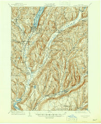
1909 Map of Cooperstown
USGS Topo · Published 1909About this map
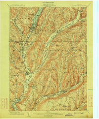
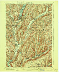
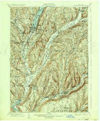
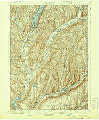
Cooperstown sits at the southern tip of Otsego Lake, serving as the anchor for a landscape defined by glacial valleys and burgeoning rail connections. This 1900s survey captures the village before modern expansion, highlighting landmarks like the Kingfisher Tower and the sprawling Lakewood Cemetery. The terrain is deeply carved by the Susquehanna River and Cherry Valley Creek, which facilitated the growth of several milling and transit hamlets.
Find a feature on this map
70 named features on this map. Tap any name to fly to it.
Don’t see what you’re looking for? This feature index may not catch every label — zoom into the map to look around manually.
Map Details
Editions of this 1909 Cooperstown Map
6 editions found
Other maps of this area

1898 · Canajoharie
USGS Topo · 1:62,500

1900 · Canajoharie
USGS Topo · 1:62,500

1902 · Canajoharie
USGS Topo · 1:62,500

1903 · Richfield Springs
USGS Topo · 1:62,500

1904 · Richmondville
USGS Topo · 1:62,500

1904 · Hobart
USGS Topo · 1:62,500

1907 · Winfield
USGS Topo · 1:62,500

1907 · Cooperstown
USGS Topo · 1:62,500

1909 · Delhi
USGS Topo · 1:62,500

1910 · Hartwick
USGS Topo · 1:62,500