
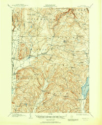
1907 Map of Winfield
USGS Topo · Published 1907About this map
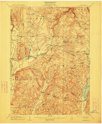
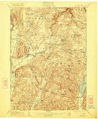
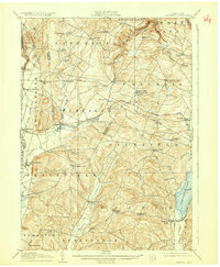
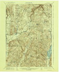
West Winfield and Bridgewater anchor this early twentieth-century landscape where the industrial and agricultural sectors meet along the Unadilla River. The map documents a sophisticated transit network, featuring the Delaware Lackawanna and Western RR and the Unadilla Valley RR, which served the various hamlets and mills of the region. To the east, the shoreline of Canadarago Lake and the prominent Deowongo Island mark the boundary of the town of Richfield.
Find a feature on this map
68 named features on this map. Tap any name to fly to it.
Don’t see what you’re looking for? This feature index may not catch every label — zoom into the map to look around manually.
Map Details
Editions of this 1907 Winfield Map
6 editions found
Other maps of this area

1895 · Oriskany
USGS Topo · 1:62,500

1898 · Utica
USGS Topo · 1:62,500

1898 · Oriskany
USGS Topo · 1:62,500

1900 · Little Falls
USGS Topo · 1:62,500

1900 · Utica
USGS Topo · 1:62,500

1903 · Richfield Springs
USGS Topo · 1:62,500

1903 · Little Falls
USGS Topo · 1:62,500

1907 · Sangerfield
USGS Topo · 1:62,500

1907 · Cooperstown
USGS Topo · 1:62,500

1909 · Cooperstown
USGS Topo · 1:62,500