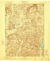
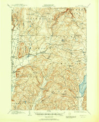
1907 Map of Winfield
USGS Topo · Published 1922About this map
The upper Unadilla River and its varied tributaries define this early twentieth-century landscape at the junction of Herkimer, Otsego, Madison, and Oneida counties. Settlement patterns are closely tied to the Delaware Lackawanna and Western R R, which services several rail-side communities including Cedarville Sta and Millers Mills Sta. In the southeast, the expanse of Canadarago Lake and its solitary Deowongo Island sit near the village of Richfield. The map reveals a dense network of small hamlets and post offices, from the manufacturing center of Clayville in the north to the family-named crossroads of Goodiers Corners and Getman Corners. Industry is evidenced by the numerous mills clustered around Millers Mills and the diverse agricultural landscape surrounding West Winfield, showcasing the region's transition from forest to a developed rural economy during this era.
Find a feature on this map
68 named features on this map. Tap any name to fly to it.
Don’t see what you’re looking for? This feature index may not catch every label — zoom into the map to look around manually.
Map Details
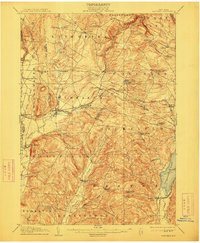
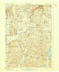
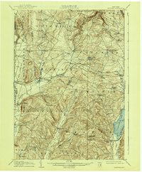
Editions of this 1907 Winfield Map
6 editions found
Other maps of this area

1895 · Oriskany
USGS Topo · 1:62,500

1898 · Utica
USGS Topo · 1:62,500

1898 · Oriskany
USGS Topo · 1:62,500

1900 · Little Falls
USGS Topo · 1:62,500

1900 · Utica
USGS Topo · 1:62,500

1903 · Richfield Springs
USGS Topo · 1:62,500

1903 · Little Falls
USGS Topo · 1:62,500

1907 · Winfield
USGS Topo · 1:62,500

1907 · Sangerfield
USGS Topo · 1:62,500

1907 · Cooperstown
USGS Topo · 1:62,500