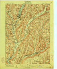
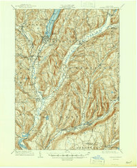
1909 Map of Cooperstown
USGS Topo · Published 1915About this map
Otsego Lake serves as the focal point of this Otsego County landscape, where the iconic Kingfisher Tower stands at the water's edge. The village of Cooperstown is depicted at the lake's southern terminus, surrounded by a network of early 20th-century transportation routes including the Cooperstown and Charlotte Valley RR and the Oneonta and Mohawk Valley RR. This survey illustrates the early industrial and social development of the region, from the cluster of activity at Phoenix Mills and Hartwick Seminary to the more remote County House further south.
Find a feature on this map
69 named features on this map. Tap any name to fly to it.
Don’t see what you’re looking for? This feature index may not catch every label — zoom into the map to look around manually.
Map Details
Editions of this 1909 Cooperstown Map
6 editions found
Other maps of this area

1898 · Canajoharie
USGS Topo · 1:62,500

1900 · Canajoharie
USGS Topo · 1:62,500

1902 · Canajoharie
USGS Topo · 1:62,500

1903 · Richfield Springs
USGS Topo · 1:62,500

1904 · Richmondville
USGS Topo · 1:62,500

1904 · Hobart
USGS Topo · 1:62,500

1907 · Winfield
USGS Topo · 1:62,500

1907 · Cooperstown
USGS Topo · 1:62,500

1909 · Cooperstown
USGS Topo · 1:62,500

1909 · Delhi
USGS Topo · 1:62,500