
1912 Map of Hartwick
USGS Topo · Published 1912About this map
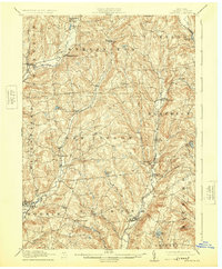
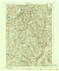
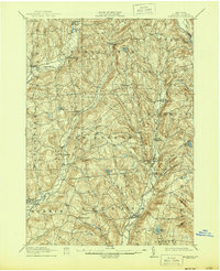
Burlington Flats and the surrounding dairy country of Otsego County appear here just before the era of widespread automobile travel. The landscape is defined by its water-driven geography, where the West Branch Otego Creek and Wharton Creek carve deep valleys through the hills. Transportation relies on a mix of steam and electric power, with the N Y O & W R R serving the western edge near Edmeston while the O & H Electric line provides a modern link through the eastern valley. Small, concentrated settlements such as Garrattsville, Welcome, and Lena serve as local hubs for the farming families in the surrounding uplands. The presence of numerous named ponds and reservoirs, including Wilber Lake and Turtle Lake, reflects the ongoing importance of water management for local industry and the growing needs of nearby population centers.
Find a feature on this map
47 named features on this map. Tap any name to fly to it.
Don’t see what you’re looking for? This feature index may not catch every label — zoom into the map to look around manually.
Map Details
Editions of this 1912 Hartwick Map
4 editions found
Other maps of this area

1903 · Richfield Springs
USGS Topo · 1:62,500

1907 · Winfield
USGS Topo · 1:62,500

1907 · Sangerfield
USGS Topo · 1:62,500

1907 · Cooperstown
USGS Topo · 1:62,500

1909 · Cooperstown
USGS Topo · 1:62,500

1909 · Delhi
USGS Topo · 1:62,500

1910 · Hartwick
USGS Topo · 1:62,500

1910 · New Berlin
USGS Topo · 1:62,500

1911 · Delhi
USGS Topo · 1:62,500

1912 · New Berlin
USGS Topo · 1:62,500