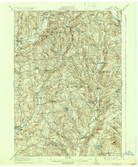
1912 Map of Hartwick
USGS Topo · Published 1937About this map
Southern New York Power and Railway Corp (Electric) cuts a distinct north-south path through this portion of Otsego County, connecting the villages of Hartwick and Mt Vision during an era of expanding rural electrification. The landscape is defined by the parallel valleys of Otego Creek and Butternut Creek, where small agrarian centers like Garrattsville and New Lisbon established themselves along the watercourses.
Find a feature on this map
43 named features on this map. Tap any name to fly to it.
Don’t see what you’re looking for? This feature index may not catch every label — zoom into the map to look around manually.
Map Details
Editions of this 1912 Hartwick Map
4 editions found

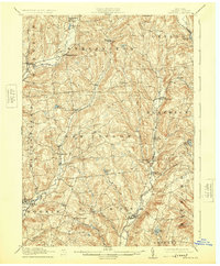
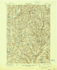
Other maps of this area

1903 · Richfield Springs
USGS Topo · 1:62,500

1907 · Winfield
USGS Topo · 1:62,500

1907 · Sangerfield
USGS Topo · 1:62,500

1907 · Cooperstown
USGS Topo · 1:62,500

1909 · Cooperstown
USGS Topo · 1:62,500

1909 · Delhi
USGS Topo · 1:62,500

1910 · Hartwick
USGS Topo · 1:62,500

1910 · New Berlin
USGS Topo · 1:62,500

1911 · Delhi
USGS Topo · 1:62,500

1912 · New Berlin
USGS Topo · 1:62,500