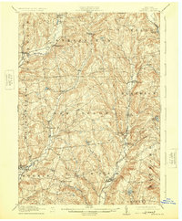
1912 Map of Hartwick
USGS Topo · Published 1925About this map
The Southern New York Electric Railway traces a path through the Otego Creek valley, connecting rural hamlets during a period of evolving transit in central New York. This early twentieth-century landscape is defined by its numerous small settlements, including Hartwick, Garrattsville, and New Lisbon, which are scattered among the steep hills and narrow drainage basins of Butternut Creek and Otego Creek. The map documents a predominantly agrarian economy, where local centers like Mt Vision and Laurens served as vital hubs for the surrounding farmsteads.
Find a feature on this map
39 named features on this map. Tap any name to fly to it.
Don’t see what you’re looking for? This feature index may not catch every label — zoom into the map to look around manually.
Map Details
Editions of this 1912 Hartwick Map
4 editions found

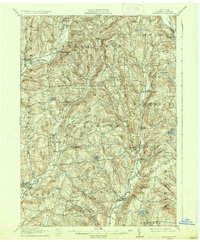
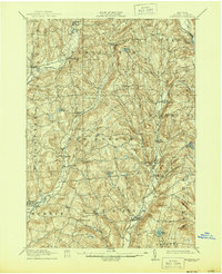
Other maps of this area

1903 · Richfield Springs
USGS Topo · 1:62,500

1907 · Winfield
USGS Topo · 1:62,500

1907 · Sangerfield
USGS Topo · 1:62,500

1907 · Cooperstown
USGS Topo · 1:62,500

1909 · Cooperstown
USGS Topo · 1:62,500

1909 · Delhi
USGS Topo · 1:62,500

1910 · Hartwick
USGS Topo · 1:62,500

1910 · New Berlin
USGS Topo · 1:62,500

1911 · Delhi
USGS Topo · 1:62,500

1912 · New Berlin
USGS Topo · 1:62,500