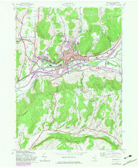
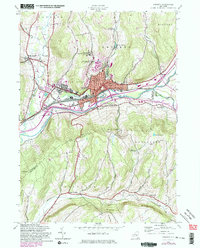
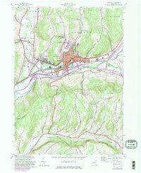
1943 Map of Oneonta
USGS Topo · Published 1983About this map
Oneonta sits at a major transit nexus where the Delaware and Hudson Railroad follows the winding course of the Susquehanna River. This 1943 survey, updated with 1980s data, reveals the town's evolution as an educational and industrial hub, anchored by Hartwick College and the State Univ of New York College at Oneonta. The urban core is flanked by Neahwa Park and vital medical facilities like Fox Hospital and Parshall Hospital.
Find a feature on this map
47 named features on this map. Tap any name to fly to it.
Don’t see what you’re looking for? This feature index may not catch every label — zoom into the map to look around manually.
Map Details
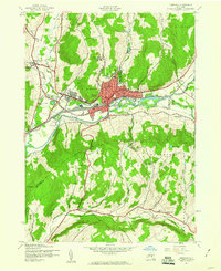
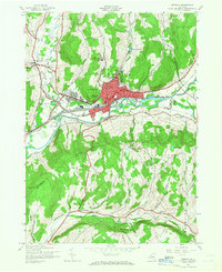
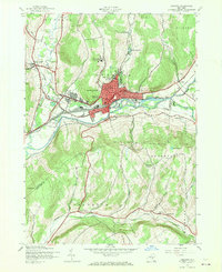
Editions of this 1943 Oneonta Map
6 editions found
Other maps of this area

1907 · Cooperstown
USGS Topo · 1:62,500

1909 · Cooperstown
USGS Topo · 1:62,500

1909 · Delhi
USGS Topo · 1:62,500

1910 · Hartwick
USGS Topo · 1:62,500

1911 · Delhi
USGS Topo · 1:62,500

1912 · Hartwick
USGS Topo · 1:62,500

1915 · Oneonta
USGS Topo · 1:62,500

1918 · Oneonta
USGS Topo · 1:62,500

1943 · Delhi
USGS Topo · 1:24,000

1943 · Mt Vision
USGS Topo · 1:24,000