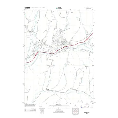
1915 Map of Oneonta
USGS Topo · Published 1915About this map
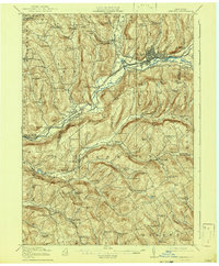
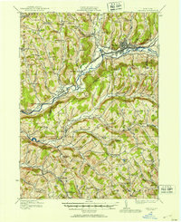
Oneonta serves as a major hub where the Susquehanna River meets the Ulster and Delaware railroad. In 1915, this region of Otsego and Delaware counties was defined by a dense network of rural one-room schoolhouses, such as School No 16 and White School, and small agricultural settlements like Otsdawa and Treadwell. The dairy economy is evident in landmarks like the Arctic Creamery near the East Branch Otsdawa Creek. To the south, the New York Ontario and Western railroad winds through the hills, serving communities like Franklin Depot and Merrickville. The terrain is characterized by prominent heights including Case Hill and Jackson Hill, which overlook the deep valleys of Ouleout Creek and Handsome Brook, illustrating the complex drainage patterns that shaped the early 20th-century road and rail corridors.
Find a feature on this map
109 named features on this map. Tap any name to fly to it.
Don’t see what you’re looking for? This feature index may not catch every label — zoom into the map to look around manually.
Map Details
Editions of this 1915 Oneonta Map
This is the sole edition of this map. No revisions or reprints were ever made.
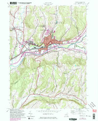
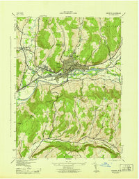
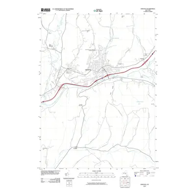
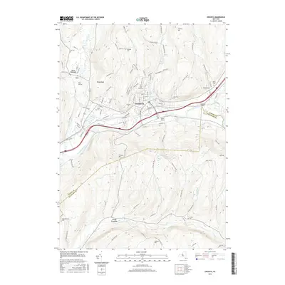
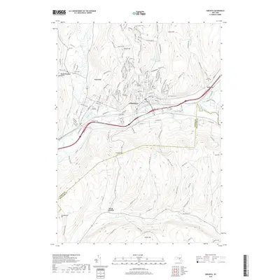
Historical Maps of Oneonta Through Time
9 maps found