Loading...
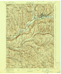
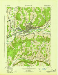
Loading map...1918 Map of Oneonta
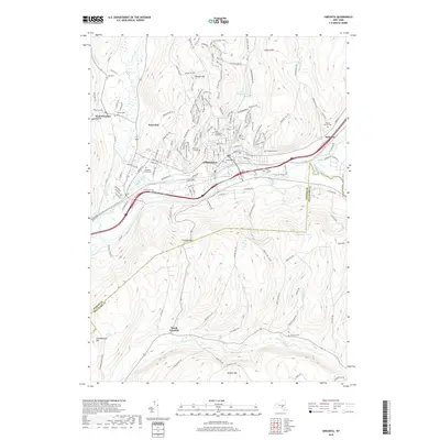
USGS Topo · Published 1942About this map
The Susquehanna River carves a deep valley through the heart of the Catskill foothills, serving as a primary corridor for early 20th-century commerce and transportation. The city of Oneonta emerges as a bustling rail hub, situated at the junction where the Delaware and Hudson RR meets the Ulster and Delaware RR. The landscape is densely marked by rural infrastructure, with a notable concentration of numbered schoolhouses such as School No 1 and School No 18 serving small farming communities like Otsdawa and Leonta.
Find a feature on this map
105 named features on this map. Tap any name to fly to it.
Don’t see what you’re looking for? This feature index may not catch every label — zoom into the map to look around manually.
Map Details
Date Portrayed1918
Date Published1942
PublisherU.S. Geological Survey
Map TypeTopographic
Scale1:62,500
Physical Dimensions16.6 x 20.1 inches
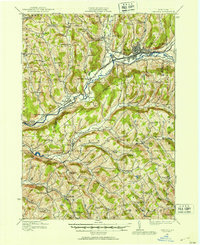
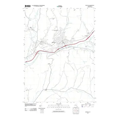
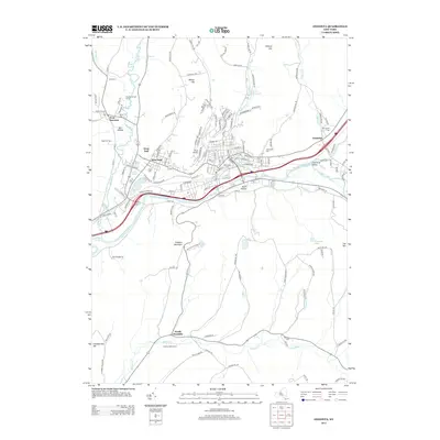
Editions of this 1918 Oneonta Map
3 editions found

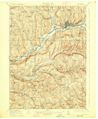
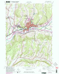
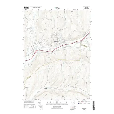
Historical Maps of Oneonta Through Time
9 maps found

Featured Locations
Source Details
SourceU.S. Geological Survey
CopyrightPublic Domain