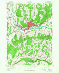
1943 Map of Oneonta
USGS Topo · Published 1966About this map
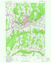
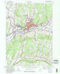
The Susquehanna River valley serves as the central artery for this mid-century survey, where the city of Oneonta serves as a significant regional hub for education, healthcare, and transportation. The city's landscape is defined by the campuses of State Teachers College and Hartwick College, alongside a dense concentration of medical facilities including Homer Folks State Hospital, Parshall Hospital, and Fox Hospital. The Delaware and Hudson railroad and the New York Southern route track the river's course, supporting the industrial and commercial growth of the era.
Find a feature on this map
45 named features on this map. Tap any name to fly to it.
Don’t see what you’re looking for? This feature index may not catch every label — zoom into the map to look around manually.
Map Details
Editions of this 1943 Oneonta Map
6 editions found
Other maps of this area

1907 · Cooperstown
USGS Topo · 1:62,500

1909 · Cooperstown
USGS Topo · 1:62,500

1909 · Delhi
USGS Topo · 1:62,500

1910 · Hartwick
USGS Topo · 1:62,500

1911 · Delhi
USGS Topo · 1:62,500

1912 · Hartwick
USGS Topo · 1:62,500

1915 · Oneonta
USGS Topo · 1:62,500

1918 · Oneonta
USGS Topo · 1:62,500

1943 · Delhi
USGS Topo · 1:24,000

1943 · Mt Vision
USGS Topo · 1:24,000