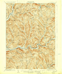
1924 Map of Andes
USGS Topo · Published 1932About this map
Shavertown and Pepacton sit along the winding East Branch Delaware River, occupying a valley floor that would later be transformed by reservoir construction. This 1920s landscape is defined by its deep connectivity between isolated hill communities and the river-level rail lines. The Delaware and Northern RR follows the southern river fork, while the New York Ontario and Western Ry serves the northwestern corner near DeLancey.
Find a feature on this map
106 named features on this map. Tap any name to fly to it.
Don’t see what you’re looking for? This feature index may not catch every label — zoom into the map to look around manually.
Map Details
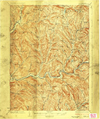
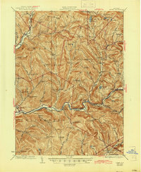
Editions of this 1924 Andes Map
4 editions found

Other maps of this area

1901 · Margaretville
USGS Topo · 1:62,500

1904 · Hobart
USGS Topo · 1:62,500

1904 · Margaretville
USGS Topo · 1:62,500

1909 · Delhi
USGS Topo · 1:62,500

1910 · Neversink
USGS Topo · 1:62,500

1911 · Delhi
USGS Topo · 1:62,500

1915 · Oneonta
USGS Topo · 1:62,500

1918 · Oneonta
USGS Topo · 1:62,500

1920 · Long Eddy
USGS Topo · 1:62,500

1921 · Long Eddy
USGS Topo · 1:48,000