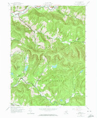
1945 Map of Arena
USGS Topo · Published 1974About this map
The East Branch Delaware River flows through the northern reaches of this mid-century survey, a period when the settlement of Arena served as a local hub before much of the valley was transformed. The landscape is defined by the high peaks of the Catskill State Park, including Barkaboom Mountain and Cross Mountain, which separate the river valley from the southern watersheds of the Beaver Kill and Beecher Kill. This era shows a network of rural education and small industry, evidenced by the Old Stone Sch and the hamlet of Grant Mills.
Find a feature on this map
35 named features on this map. Tap any name to fly to it.
Don’t see what you’re looking for? This feature index may not catch every label — zoom into the map to look around manually.
Map Details
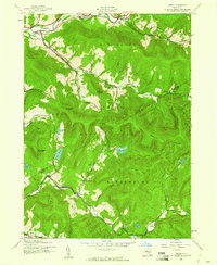
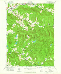
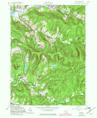
Editions of this 1945 Arena Map
4 editions found
Other maps of this area

1901 · Margaretville
USGS Topo · 1:62,500

1904 · Margaretville
USGS Topo · 1:62,500

1910 · Neversink
USGS Topo · 1:62,500

1921 · Livingston Manor
USGS Topo · 1:62,500

1922 · Andes
USGS Topo · 1:62,500

1923 · Livingston Manor
USGS Topo · 1:62,500

1924 · Andes
USGS Topo · 1:62,500

1942 · Neversink
USGS Topo · 1:62,500

1943 · Monticello
USGS Topo · 1:125,000

1944 · Livingston Manor
USGS Topo · 1:62,500