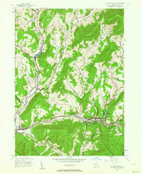
1945 Map of Fleischmanns
USGS Topo · Published 1963About this map
Fleischmanns serves as the focal point of this mid-1940s topography, situated where the Bush Kill and Emory Brook converge. The landscape is defined by the high ridges of the Catskill Park, including Fleischmann Mountain and Hog Mountain, which hem in narrow valleys and hollows. The New York Central railroad corridor follows the winding course of the East Branch Delaware River, connecting settlements like Halcottsville and Kelly Corners with the larger village of Fleischmanns.
Find a feature on this map
50 named features on this map. Tap any name to fly to it.
Don’t see what you’re looking for? This feature index may not catch every label — zoom into the map to look around manually.
Map Details
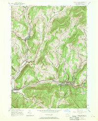
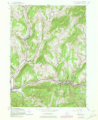
Editions of this 1945 Fleischmanns Map
4 editions found
Other maps of this area

1900 · Phoenicia
USGS Topo · 1:62,500

1901 · Margaretville
USGS Topo · 1:62,500

1901 · Gilboa
USGS Topo · 1:62,500

1903 · Gilboa
USGS Topo · 1:62,500

1903 · Phoenicia
USGS Topo · 1:62,500

1904 · Hobart
USGS Topo · 1:62,500

1904 · Margaretville
USGS Topo · 1:62,500
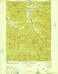
1945 · Seager
USGS Topo · 1:24,000

1945 · West Kill
USGS Topo · 1:24,000

1945 · Fleischmanns
USGS Topo · 1:24,000