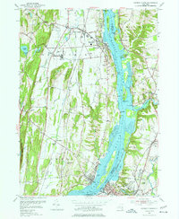
1953 Map of Hudson North
USGS Topo · Published 1977About this map
The Hudson River serves as the central artery for this 1950s survey, dividing the landscape between the riverfront settlements of Coxsackie and Athens on the west bank and the rail-oriented communities of Stottville and Columbiaville to the east. This era shows the river's industrial and navigational character, marked by features like Stockport Middle Ground, Nutten Hook, and Rattlesnake Island. Significant land use is visible at the State Vocational Institution and the sprawling New York Central railroad corridor, which follows the eastern shoreline through Newton Hook. Local geography is further defined by the winding paths of Stockport Creek and Murderers Creek, while the burgeoning transportation network is highlighted by the path of the New York State Thruway cutting through the western hills. Genealogists will find value in the detailed locations of various burial grounds, including Riverside Cem, St Marys Cem, and the Swartwout Memorial Cem near the southern edge of the map.
Find a feature on this map
51 named features on this map. Tap any name to fly to it.
Don’t see what you’re looking for? This feature index may not catch every label — zoom into the map to look around manually.
Map Details
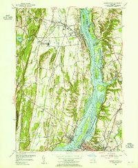
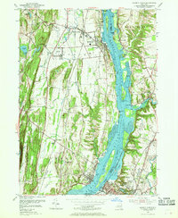
Editions of this 1953 Hudson North Map
3 editions found
Other maps of this area

1893 · Coxsackie
USGS Topo · 1:62,500

1894 · Coxsackie
USGS Topo · 1:62,500

1895 · Catskill
USGS Topo · 1:62,500

1902 · Copake
USGS Topo · 1:62,500

1903 · Kinderhook
USGS Topo · 1:62,500

1904 · Copake
USGS Topo · 1:62,500

1929 · Coxsackie
USGS Topo · 1:62,500

1933 · Kinderhook
USGS Topo · 1:62,500

1934 · Catskill
USGS Topo · 1:62,500

1938 · Catskill
USGS Topo · 1:62,500