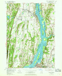
1953 Map of Hudson North
USGS Topo · Published 1969About this map
Hudson River commerce and industrial sites dominate this mid-century survey of the river's western and eastern banks. On the Greene County side, the village of Coxsackie and its counterpart West Coxsackie serve as anchors, featuring the State Vocational Institution and the landmark Bronck House. The landscape is a mix of agricultural flats and strategic riverfront sites, including Fitchs Wharf and a Lighthouse situated near Middle Ground Flats.
Find a feature on this map
69 named features on this map. Tap any name to fly to it.
Don’t see what you’re looking for? This feature index may not catch every label — zoom into the map to look around manually.
Map Details
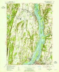
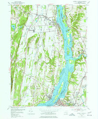
Editions of this 1953 Hudson North Map
3 editions found
Other maps of this area

1893 · Coxsackie
USGS Topo · 1:62,500

1894 · Coxsackie
USGS Topo · 1:62,500

1895 · Catskill
USGS Topo · 1:62,500

1902 · Copake
USGS Topo · 1:62,500

1903 · Kinderhook
USGS Topo · 1:62,500

1904 · Copake
USGS Topo · 1:62,500

1929 · Coxsackie
USGS Topo · 1:62,500

1933 · Kinderhook
USGS Topo · 1:62,500

1934 · Catskill
USGS Topo · 1:62,500

1938 · Catskill
USGS Topo · 1:62,500