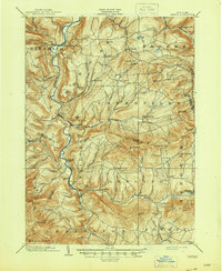
1903 Map of Gilboa
USGS Topo · Published 1945About this map
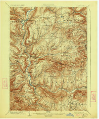
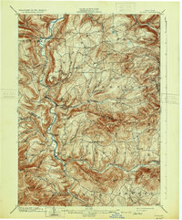
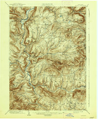
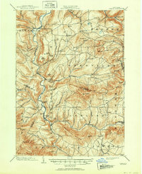
Schoharie Creek carves a deep valley through the Catskill mountains, anchoring a network of nineteenth-century agricultural settlements and mill sites. This 1901 survey, completed by J. H. Jennings and published shortly after, documents the region before significant twentieth-century hydrological changes transformed the landscape. Notable vertical drops like Manorkill Falls and Devasego Falls emphasize the steep drainage patterns of the Batavia Kill and Manorkill as they descend toward the main valley floor.
Find a feature on this map
84 named features on this map. Tap any name to fly to it.
Don’t see what you’re looking for? This feature index may not catch every label — zoom into the map to look around manually.
Map Details
Editions of this 1903 Gilboa Map
9 editions found

Other maps of this area

1892 · Kaaterskill
USGS Topo · 1:62,500

1893 · Kaaterskill
USGS Topo · 1:62,500

1893 · Durham
USGS Topo · 1:62,500

1894 · Kaaterskill
USGS Topo · 1:62,500

1894 · Durham
USGS Topo · 1:62,500

1898 · Schoharie
USGS Topo · 1:62,500

1899 · Kaaterskill
USGS Topo · 1:62,500

1900 · Schoharie
USGS Topo · 1:62,500

1900 · Berne
USGS Topo · 1:62,500

1900 · Phoenicia
USGS Topo · 1:62,500