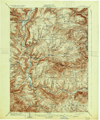
1903 Map of Gilboa
USGS Topo · Published 1931About this map
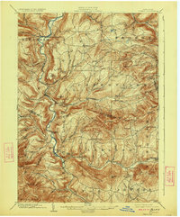
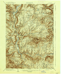
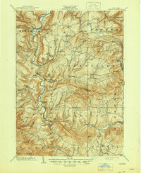
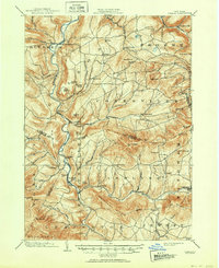
Schoharie Creek carves a deep path through this landscape, serving as the primary drainage for the surrounding northern Catskill plateaus. This 1901 survey reveals the region just before significant 20th-century hydrological changes, documenting the original locations of Gilboa and Prattsville along the river banks. The map highlights a series of dramatic water features, including Manorkill Falls and Devasego Falls, which once characterized the local topography.
Find a feature on this map
74 named features on this map. Tap any name to fly to it.
Don’t see what you’re looking for? This feature index may not catch every label — zoom into the map to look around manually.
Map Details
Editions of this 1903 Gilboa Map
9 editions found

Other maps of this area

1892 · Kaaterskill
USGS Topo · 1:62,500

1893 · Kaaterskill
USGS Topo · 1:62,500

1893 · Durham
USGS Topo · 1:62,500

1894 · Kaaterskill
USGS Topo · 1:62,500

1894 · Durham
USGS Topo · 1:62,500

1898 · Schoharie
USGS Topo · 1:62,500

1899 · Kaaterskill
USGS Topo · 1:62,500

1900 · Schoharie
USGS Topo · 1:62,500

1900 · Berne
USGS Topo · 1:62,500

1900 · Phoenicia
USGS Topo · 1:62,500