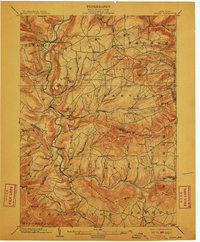
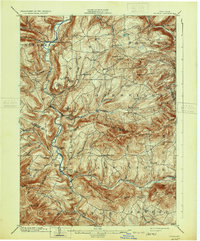
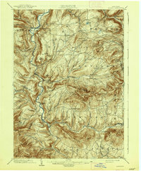
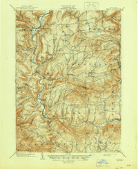
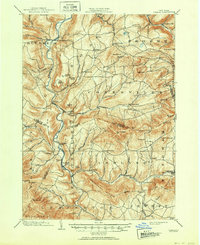
1903 Map of Gilboa
USGS Topo · Published 1910About this map
Schoharie Creek dominates this turn-of-the-century Catskills landscape, carved by deep kills and punctuated by significant elevation changes. At this time, Gilboa sits as a vital valley settlement years before the valley was flooded for reservoir construction, while Prattsville serves as a hub near the iconic Pratt Rocks. The terrain is defined by its complex hydrography, including the dramatic Manorkill Falls and Devasego Falls, which once drew visitors to these high-elevation valleys.
Find a feature on this map
77 named features on this map. Tap any name to fly to it.
Don’t see what you’re looking for? This feature index may not catch every label — zoom into the map to look around manually.
Map Details
Editions of this 1903 Gilboa Map
9 editions found

Other maps of this area

1892 · Kaaterskill
USGS Topo · 1:62,500

1893 · Kaaterskill
USGS Topo · 1:62,500

1893 · Durham
USGS Topo · 1:62,500

1894 · Kaaterskill
USGS Topo · 1:62,500

1894 · Durham
USGS Topo · 1:62,500

1898 · Schoharie
USGS Topo · 1:62,500

1899 · Kaaterskill
USGS Topo · 1:62,500

1900 · Schoharie
USGS Topo · 1:62,500

1900 · Berne
USGS Topo · 1:62,500

1900 · Phoenicia
USGS Topo · 1:62,500