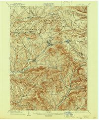
1904 Map of Hobart
USGS Topo · Published 1944About this map
The West Branch Delaware River carves a deep valley through this corner of the Catskill Mountains, dictating the development of the primary rail and road corridors during the early twentieth century. The Ulster and Delaware railroad serves as the region's industrial spine, connecting the high-altitude villages of Stamford and Hobart with rural depots like South Gilboa Sta and Grand Gorge Sta. These transport links facilitated the dairy and agriculture economies of local townships including Harpersfield and Roxbury.
Find a feature on this map
80 named features on this map. Tap any name to fly to it.
Don’t see what you’re looking for? This feature index may not catch every label — zoom into the map to look around manually.
Map Details
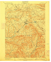
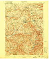
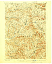
Editions of this 1904 Hobart Map
5 editions found
Other maps of this area

1898 · Schoharie
USGS Topo · 1:62,500

1900 · Schoharie
USGS Topo · 1:62,500

1900 · Phoenicia
USGS Topo · 1:62,500

1901 · Margaretville
USGS Topo · 1:62,500

1901 · Gilboa
USGS Topo · 1:62,500

1903 · Gilboa
USGS Topo · 1:62,500

1903 · Phoenicia
USGS Topo · 1:62,500

1904 · Richmondville
USGS Topo · 1:62,500

1904 · Hobart
USGS Topo · 1:62,500

1904 · Margaretville
USGS Topo · 1:62,500