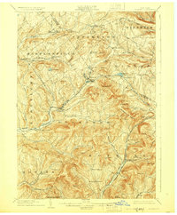
1904 Map of Hobart
USGS Topo · Published 1928About this map
Stamford and Roxbury serve as the primary anchors of this Catskill region landscape, where the Ulster and Delaware RR navigates the narrow valleys between towering peaks. The map illustrates a high-altitude topography where dairy farming and early mountain tourism were coming of age. Small rural hamlets like North Harpersfield, Hubbell Corners, and South Gilboa are connected by winding mountain roads, while the West Branch Delaware River begins its descent near Hobart.
Find a feature on this map
71 named features on this map. Tap any name to fly to it.
Don’t see what you’re looking for? This feature index may not catch every label — zoom into the map to look around manually.
Map Details
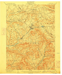
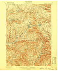
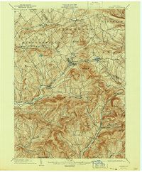
Editions of this 1904 Hobart Map
5 editions found
Other maps of this area

1898 · Schoharie
USGS Topo · 1:62,500

1900 · Schoharie
USGS Topo · 1:62,500

1900 · Phoenicia
USGS Topo · 1:62,500

1901 · Margaretville
USGS Topo · 1:62,500

1901 · Gilboa
USGS Topo · 1:62,500

1903 · Gilboa
USGS Topo · 1:62,500

1903 · Phoenicia
USGS Topo · 1:62,500

1904 · Richmondville
USGS Topo · 1:62,500

1904 · Hobart
USGS Topo · 1:62,500

1904 · Margaretville
USGS Topo · 1:62,500