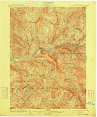
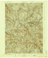
1904 Map of Margaretville
USGS Topo · Published 1915About this map
The East Branch Delaware River carves through the central Catskill Mountains, serving as the primary corridor for settlement and industry in the early twentieth century. The Ulster and Delaware RR follows the river's path and the Bush Kill, connecting the mountain hamlets of Margaretville, Arkville, and Fleischmanns. This rail-and-river network supported a landscape of scattered sawmills and agricultural outposts like Grant Mills and New Kingston, which are shown alongside numerous family-named hollows such as Bragg Hollow and Palmer Hollow.
Find a feature on this map
70 named features on this map. Tap any name to fly to it.
Don’t see what you’re looking for? This feature index may not catch every label — zoom into the map to look around manually.
Map Details
Editions of this 1904 Margaretville Map
7 editions found
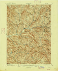
Other maps of this area

1900 · Phoenicia
USGS Topo · 1:62,500

1901 · Margaretville
USGS Topo · 1:62,500

1901 · Gilboa
USGS Topo · 1:62,500

1903 · Gilboa
USGS Topo · 1:62,500

1903 · Phoenicia
USGS Topo · 1:62,500

1903 · Slide Mountain
USGS Topo · 1:62,500

1904 · Hobart
USGS Topo · 1:62,500

1904 · Margaretville
USGS Topo · 1:62,500

1905 · Slide Mountain
USGS Topo · 1:62,500

1909 · Delhi
USGS Topo · 1:62,500