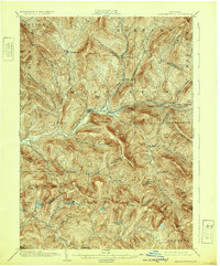
1904 Map of Margaretville
USGS Topo · Published 1932About this map
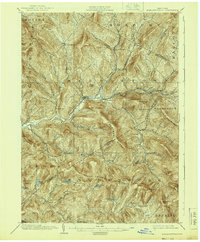
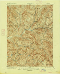
The East Branch Delaware River carves a deep valley through this Catskill mountain landscape, serving as the primary corridor for the Ulster and Delaware railroad. At the turn of the century, this rail line connected a string of valley settlements including Margaretville, Arkville, and Fleischmanns, which flourished near the junctions of tributary streams like Bush Kill and Emory Brook. The map reveals a dense network of high ridges and hollows, such as Bragg Hollow and Canada Hollow, where small settlements like New Kingston and Dunraven managed to take root in the limited level ground.
Find a feature on this map
64 named features on this map. Tap any name to fly to it.
Don’t see what you’re looking for? This feature index may not catch every label — zoom into the map to look around manually.
Map Details
Editions of this 1904 Margaretville Map
7 editions found
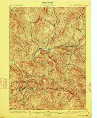
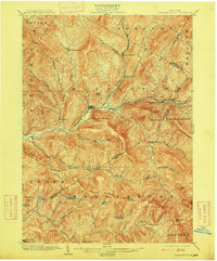
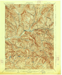
Other maps of this area

1900 · Phoenicia
USGS Topo · 1:62,500

1901 · Margaretville
USGS Topo · 1:62,500

1901 · Gilboa
USGS Topo · 1:62,500

1903 · Gilboa
USGS Topo · 1:62,500

1903 · Phoenicia
USGS Topo · 1:62,500

1903 · Slide Mountain
USGS Topo · 1:62,500

1904 · Hobart
USGS Topo · 1:62,500

1904 · Margaretville
USGS Topo · 1:62,500

1905 · Slide Mountain
USGS Topo · 1:62,500

1909 · Delhi
USGS Topo · 1:62,500