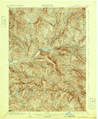
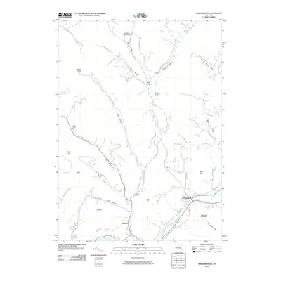
1904 Map of Margaretville
USGS Topo · Published 1939About this map
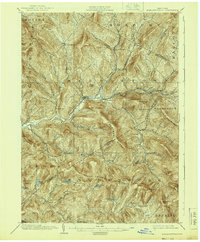
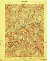
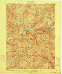
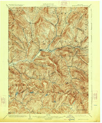
The East Branch Delaware River carves a central path through the high peaks of the western Catskills, anchoring a network of narrow mountain valleys. In the early 20th century, the Delaware and Ulster Railroad served as the vital artery for this region, connecting the valley settlements of Arkville, Fleischmanns, and Halcottsville. The map reveals a landscape defined by its hollows—such as Weaver Hollow and Canada Hollow—where small farming communities and timber interests concentrated. Near the confluence of the river and the Bush Kill, the village of Margaretville emerges as a principal hub of activity. Further south, the terrain becomes increasingly steep and remote, marked by the prominent Dry Brook Ridge and the heights of Balsam Roundtop. This period represents the era before the large-scale reservoir projects transformed the Delaware watershed, showing original riverine settlements like Arena and Dunraven in their earlier topographical context.
Find a feature on this map
69 named features on this map. Tap any name to fly to it.
Don’t see what you’re looking for? This feature index may not catch every label — zoom into the map to look around manually.
Map Details
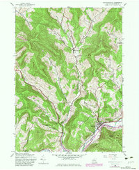
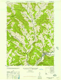
Editions of this 1904 Margaretville Map
7 editions found

Historical Maps of Middletown Through Time
9 maps found

1901 Margaretville
Delaware County, NY
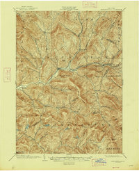
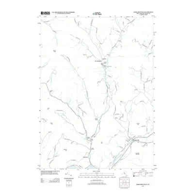
1904 Margaretville
Delaware County, NY
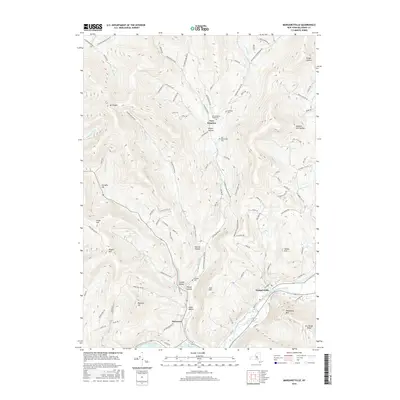
1945 Margaretville
Delaware County, NY
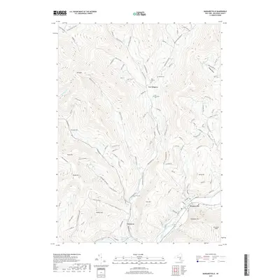
1946 Margaretville
Delaware County, NY
2010 Margaretville
Delaware County, NY
2013 Margaretville
Delaware County, NY
2016 Margaretville
Delaware County, NY
2019 Margaretville
Delaware County, NY

2023 Margaretville
Delaware County, NY