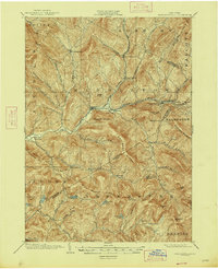
1904 Map of Margaretville
USGS Topo · Published 1947About this map
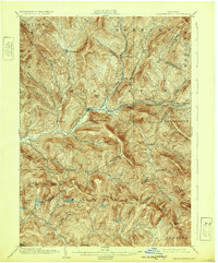
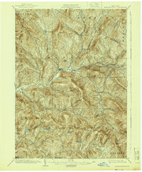
The East Branch Delaware River carves through the central valley of this landscape, serving as the primary corridor for both the Ulster and Delaware railroad and the concentrated settlements of Margaretville, Arkville, and Fleischmanns. This survey, conducted at the start of the 20th century, reveals a transition from these bustling rail towns to the more isolated upland dairy and timber hamlets like New Kingston and Turnwood. To the south, the terrain rises into the high peaks of the Catskills, where large private estates and seasonal residences are suggested by the presence of Furlough Lake and Beecher Lake. The map captures the complex drainage patterns of the Platte Kill, Batavia Kill, and Bush Kill, which define the agricultural hollows that supported small communities such as Halcottsville and Griffin Corners before many mountain crossroads began to consolidate.
Find a feature on this map
69 named features on this map. Tap any name to fly to it.
Don’t see what you’re looking for? This feature index may not catch every label — zoom into the map to look around manually.
Map Details
Editions of this 1904 Margaretville Map
7 editions found
Other maps of this area

1900 · Phoenicia
USGS Topo · 1:62,500

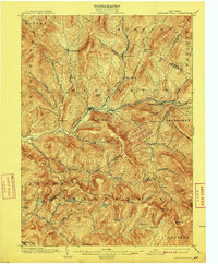
1901 · Margaretville
USGS Topo · 1:62,500

1901 · Gilboa
USGS Topo · 1:62,500

1903 · Gilboa
USGS Topo · 1:62,500

1903 · Phoenicia
USGS Topo · 1:62,500

1903 · Slide Mountain
USGS Topo · 1:62,500

1904 · Hobart
USGS Topo · 1:62,500

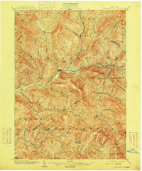
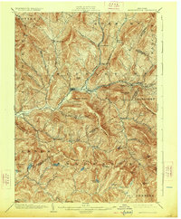
1904 · Margaretville
USGS Topo · 1:62,500

1905 · Slide Mountain
USGS Topo · 1:62,500

1909 · Delhi
USGS Topo · 1:62,500