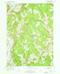
1952 Map of Gulf Summit
USGS Topo · Published 1976About this map
The Susquehanna River defines the western edge of this territory, where the hamlets of East Windsor, Damascus, and South Windsor sit along the riverbank. This mid-century landscape is shaped by the competing routes of the Delaware and Hudson and the Erie RR, which navigate the deep valleys and high ridges of Windsor and Sanford townships. The railroad infrastructure is central to the local geography, particularly near Gulf Summit, where the tracks pass Gulf Summit Ch and several mountain lakes like Sky Lake and Deer Lake. Genealogists will find valuable landmarks throughout these hills, including the Edwards Cem near the river and the Cascade Valley Cem tucked away in the southern reaches of Cascade Valley. These scattered settlements and rural cemeteries reflect a period of transition as traditional hill farming and rail-dependent commerce remained the primary drivers of Broome County life.
Find a feature on this map
30 named features on this map. Tap any name to fly to it.
Don’t see what you’re looking for? This feature index may not catch every label — zoom into the map to look around manually.
Map Details
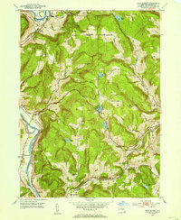
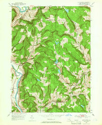
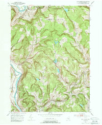
Editions of this 1952 Gulf Summit Map
4 editions found
Other maps of this area

1905 · Nineveh
USGS Topo · 1:62,500

1924 · Starrucca
USGS Topo · 1:48,000

1924 · Deposit
USGS Topo · 1:62,500

1926 · Deposit
USGS Topo · 1:62,500

1926 · Starrucca
USGS Topo · 1:62,500

1930 · Starrucca
USGS Topo · 1:48,000

1932 · Susquehanna
USGS Topo · 1:62,500

1933 · Starrucca
USGS Topo · 1:62,500

1935 · Susquehanna
USGS Topo · 1:62,500

1943 · Honesdale
USGS Topo · 1:125,000