
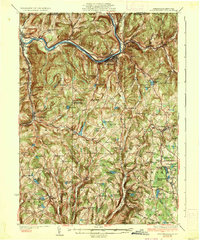
1935 Map of Susquehanna
USGS Topo · Published 1935About this map
The Susquehanna River carves a dramatic northward loop through the northern borderlands of Pennsylvania, anchoring industrial and transit centers like Great Bend, Hallstead, and the town of Susquehanna. During the mid-1930s, this region was a critical corridor for heavy rail, featuring the prominent Erie RR and the Delaware Lackawanna and Western RR. These lines follow the river's curves and narrow valleys, connecting the manufacturing hubs to the broader interstate network.
Find a feature on this map
103 named features on this map. Tap any name to fly to it.
Don’t see what you’re looking for? This feature index may not catch every label — zoom into the map to look around manually.
Map Details
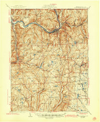
Editions of this 1935 Susquehanna Map
3 editions found
Other maps of this area

1892 · Honesdale
USGS Topo · 1:62,500

1892 · Dundaff
USGS Topo · 1:62,500

1904 · Binghamton
USGS Topo · 1:62,500

1905 · Nineveh
USGS Topo · 1:62,500

1924 · Starrucca
USGS Topo · 1:48,000

1924 · Deposit
USGS Topo · 1:62,500

1926 · Deposit
USGS Topo · 1:62,500

1926 · Starrucca
USGS Topo · 1:62,500

1930 · Starrucca
USGS Topo · 1:48,000

1932 · Susquehanna
USGS Topo · 1:62,500