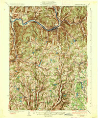
1935 Map of Susquehanna
USGS Topo · Published 1935About this map
The Susquehanna River carves a dramatic path through this northern Pennsylvania landscape, where the confluence of three major rail lines defined the regional economy in the mid-1930s. The Erie RR, Delaware Lackawanna and Western RR, and Delaware and Hudson RR converge near Lanesboro and Susquehanna, illustrating the area's importance as a transportation hub. Beyond the river valley, the topography is dotted with small hilltop schoolhouses like Oak Hill Sch and Highland Sch, alongside numerous named family corners and turnpikes.
Find a feature on this map
102 named features on this map. Tap any name to fly to it.
Don’t see what you’re looking for? This feature index may not catch every label — zoom into the map to look around manually.
Map Details
Editions of this 1935 Susquehanna Map
3 editions found

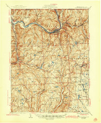
Other maps of this area

1892 · Honesdale
USGS Topo · 1:62,500

1892 · Dundaff
USGS Topo · 1:62,500

1904 · Binghamton
USGS Topo · 1:62,500

1905 · Nineveh
USGS Topo · 1:62,500

1924 · Starrucca
USGS Topo · 1:48,000

1924 · Deposit
USGS Topo · 1:62,500

1926 · Deposit
USGS Topo · 1:62,500

1926 · Starrucca
USGS Topo · 1:62,500

1930 · Starrucca
USGS Topo · 1:48,000

1932 · Susquehanna
USGS Topo · 1:62,500