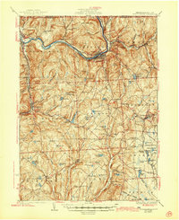
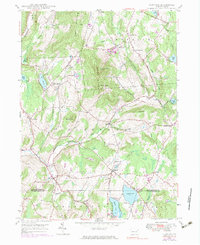
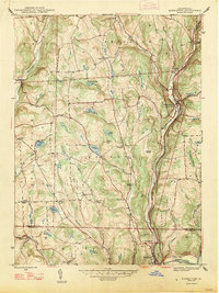
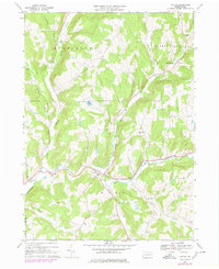
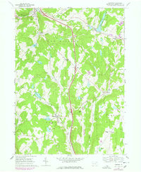
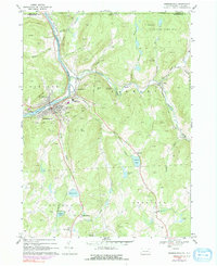
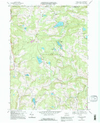
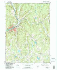
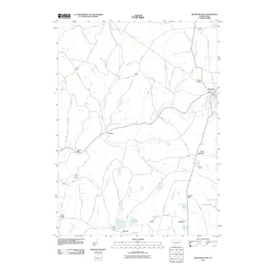
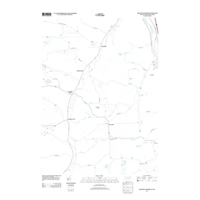
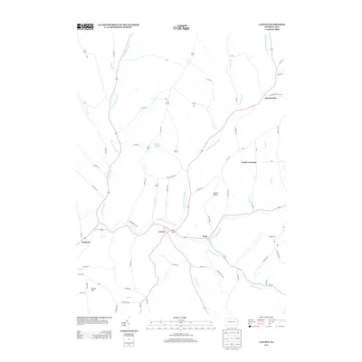
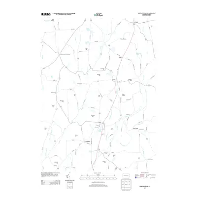
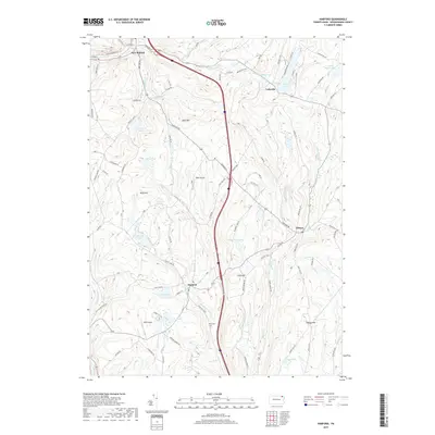
1935 Map of Susquehanna
USGS Topo · Published 1944About this map
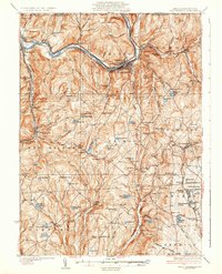
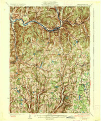
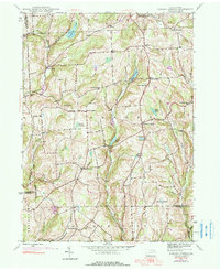
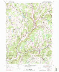
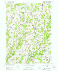
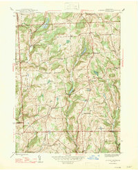
The Susquehanna River defines the northern landscape of this region, winding through deep valleys where the Erie and Delaware and Hudson railroads supported a thriving industrial corridor. The river towns of Hallstead, Great Bend, Oakland, and Lanesboro serve as the primary hubs of activity, linked by rail lines that follow the water's edge. To the south, the terrain rises into a patchwork of upland farming communities and high ridges like Hogback Hill and East Mtn.
Find a feature on this map
127 named features on this map. Tap any name to fly to it.
Don’t see what you’re looking for? This feature index may not catch every label — zoom into the map to look around manually.
Map Details
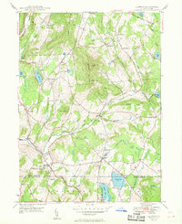
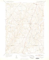
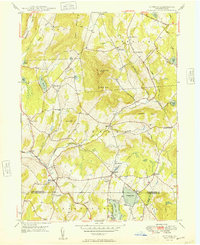
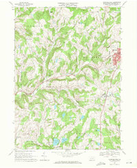
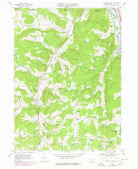
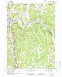
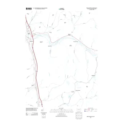
Editions of this 1935 Susquehanna Map
3 editions found
Historical Maps of Windsor Through Time
91 maps found

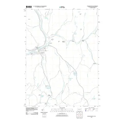
1932 Susquehanna
Susquehanna County, PA
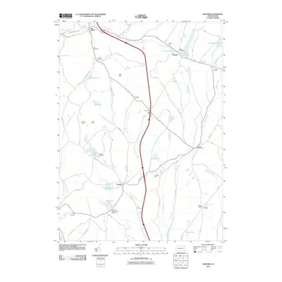
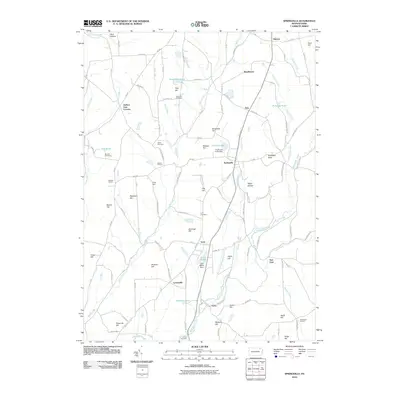
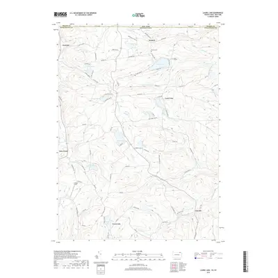
1935 Susquehanna
Susquehanna County, PA
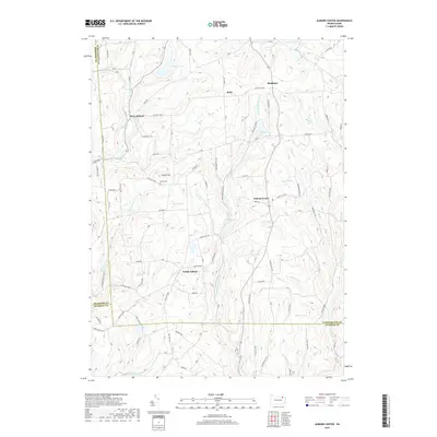
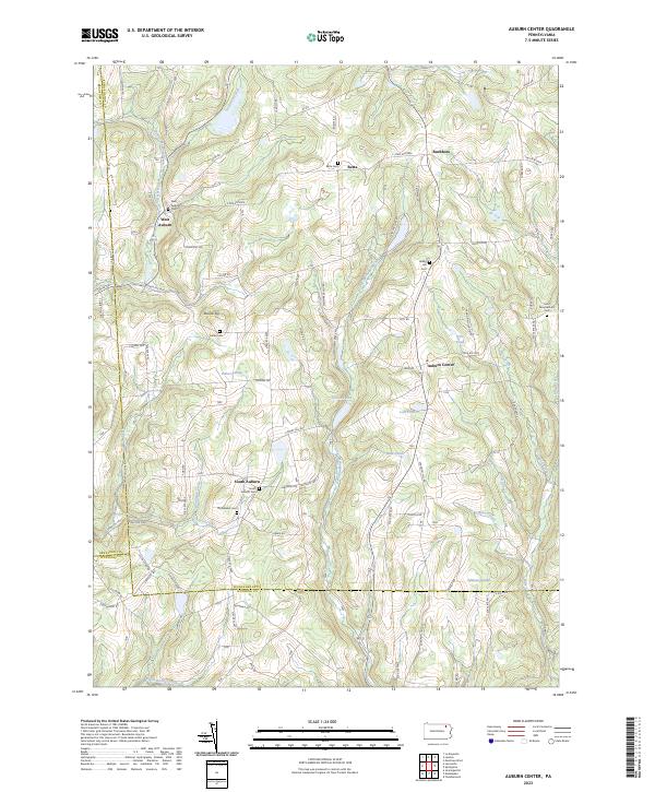
1945 Auburn Center
Susquehanna County, PA
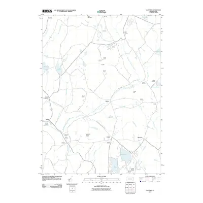
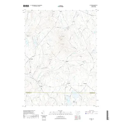
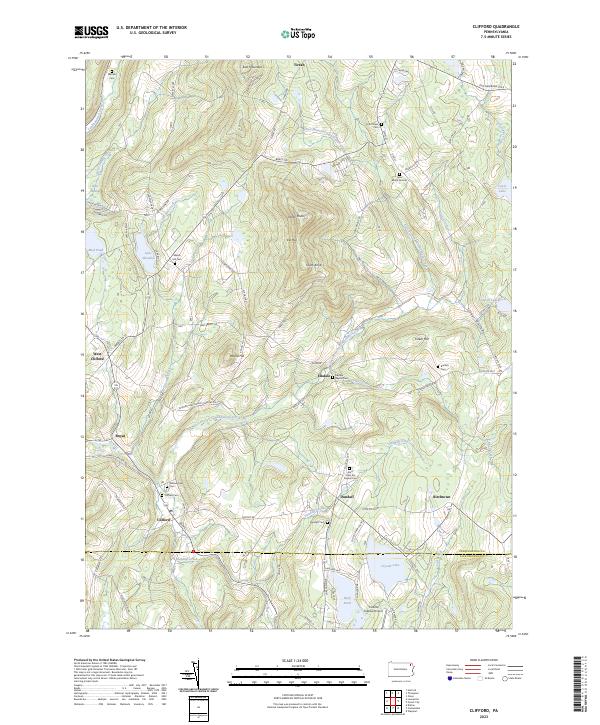
1946 Clifford
Susquehanna County, PA
1946 Lenoxville
Susquehanna County, PA
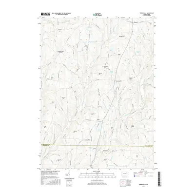
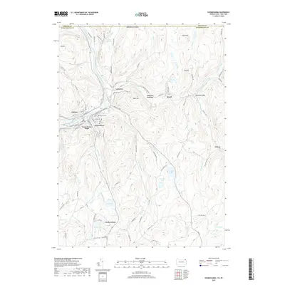
1946 Springville
Susquehanna County, PA
1947 Auburn Center
Susquehanna County, PA
1947 Hopbottom
Susquehanna County, PA
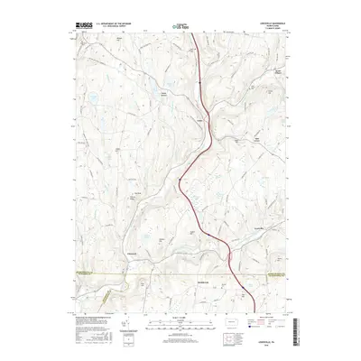
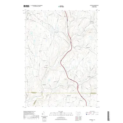
1948 Clifford
Susquehanna County, PA
1948 Springville
Susquehanna County, PA
1949 Clifford
Susquehanna County, PA

1949 Lenoxville
Susquehanna County, PA
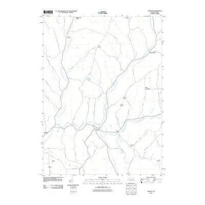
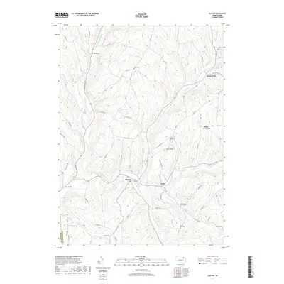
1967 Lawton
Susquehanna County, PA
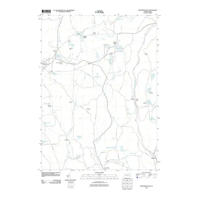
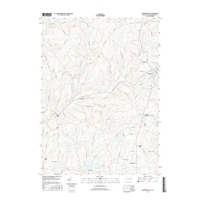
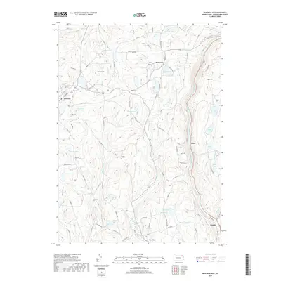
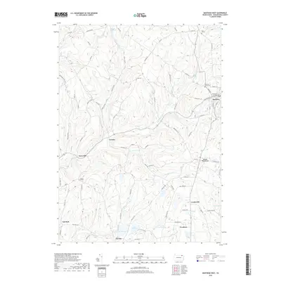
1967 Montrose West
Susquehanna County, PA
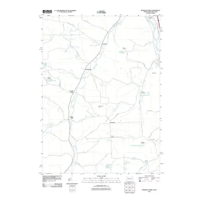
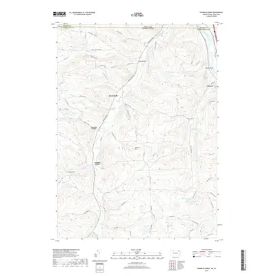
1968 Franklin Forks
Susquehanna County, PA
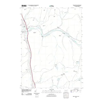
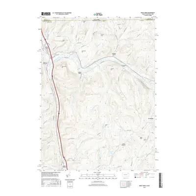
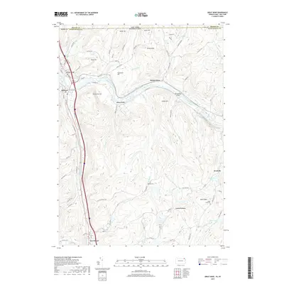
1968 Great Bend
Susquehanna County, PA
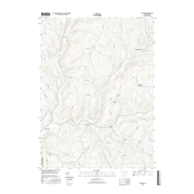
1968 Harford
Susquehanna County, PA
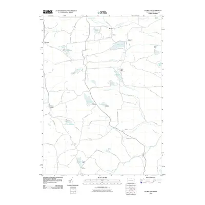
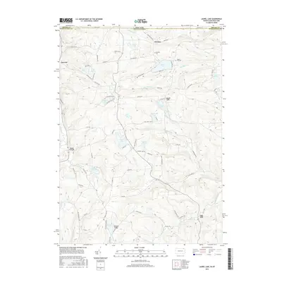
1968 Laurel Lake
Susquehanna County, PA
1968 Montrose East
Susquehanna County, PA
1968 Montrose West
Susquehanna County, PA
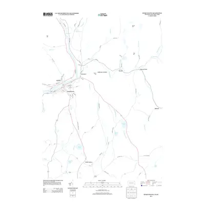
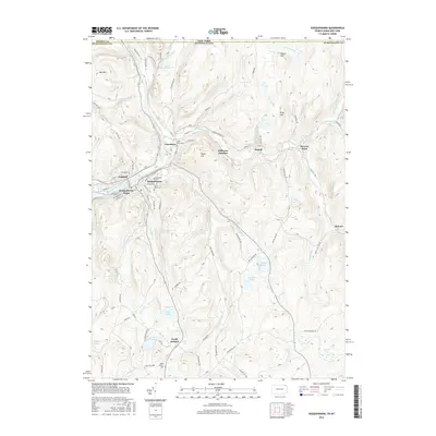
1968 Susquehanna
Susquehanna County, PA
1992 Franklin Forks
Susquehanna County, PA
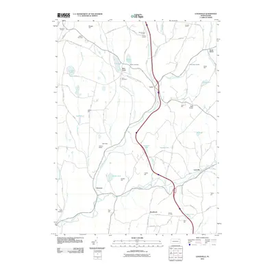
1992 Great Bend
Susquehanna County, PA
1992 Harford
Susquehanna County, PA
1992 Laurel Lake
Susquehanna County, PA
1992 Montrose East
Susquehanna County, PA
1994 Clifford
Susquehanna County, PA
1994 Montrose West
Susquehanna County, PA
1994 Susquehanna
Susquehanna County, PA
1999 Auburn Center
Susquehanna County, PA
1999 Lenoxville
Susquehanna County, PA
2010 Auburn Center
Susquehanna County, PA
2010 Clifford
Susquehanna County, PA
2010 Franklin Forks
Susquehanna County, PA
2010 Great Bend
Susquehanna County, PA
2010 Harford
Susquehanna County, PA
2010 Laurel Lake
Susquehanna County, PA
2010 Lawton
Susquehanna County, PA
2010 Lenoxville
Susquehanna County, PA
2010 Montrose East
Susquehanna County, PA
2010 Montrose West
Susquehanna County, PA
2010 Springville
Susquehanna County, PA
2010 Susquehanna
Susquehanna County, PA
2013 Auburn Center
Susquehanna County, PA

2013 Clifford
Susquehanna County, PA
2013 Franklin Forks
Susquehanna County, PA
2013 Great Bend
Susquehanna County, PA
2013 Harford
Susquehanna County, PA
2013 Laurel Lake
Susquehanna County, PA
2013 Lawton
Susquehanna County, PA
2013 Lenoxville
Susquehanna County, PA
2013 Montrose East
Susquehanna County, PA
2013 Montrose West
Susquehanna County, PA
2013 Springville
Susquehanna County, PA
2013 Susquehanna
Susquehanna County, PA
2016 Auburn Center
Susquehanna County, PA
2016 Clifford
Susquehanna County, PA

2016 Franklin Forks
Susquehanna County, PA
2016 Great Bend
Susquehanna County, PA

2016 Harford
Susquehanna County, PA
2016 Laurel Lake
Susquehanna County, PA
2016 Lawton
Susquehanna County, PA
2016 Lenoxville
Susquehanna County, PA

2016 Montrose East
Susquehanna County, PA
2016 Montrose West
Susquehanna County, PA
2016 Springville
Susquehanna County, PA
2016 Susquehanna
Susquehanna County, PA
2019 Auburn Center
Susquehanna County, PA
2019 Clifford
Susquehanna County, PA
2019 Franklin Forks
Susquehanna County, PA
2019 Great Bend
Susquehanna County, PA
2019 Harford
Susquehanna County, PA
2019 Laurel Lake
Susquehanna County, PA
2019 Lawton
Susquehanna County, PA
2019 Lenoxville
Susquehanna County, PA
2019 Montrose East
Susquehanna County, PA
2019 Montrose West
Susquehanna County, PA

2019 Springville
Susquehanna County, PA
2019 Susquehanna
Susquehanna County, PA
2023 Auburn Center
Susquehanna County, PA
2023 Clifford
Susquehanna County, PA
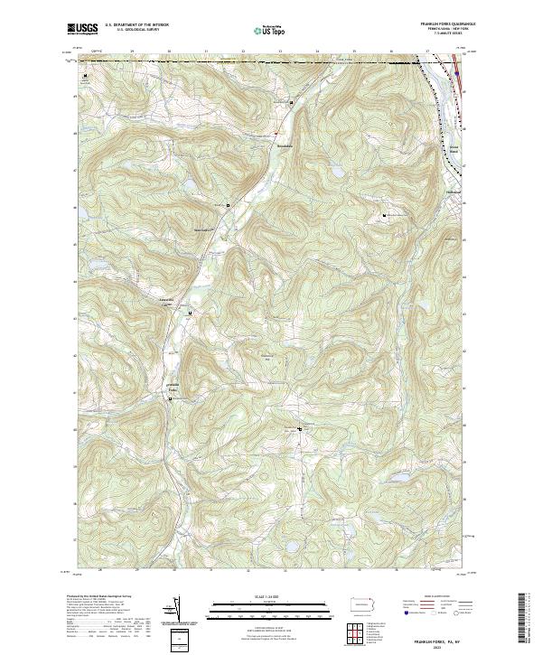
2023 Franklin Forks
Susquehanna County, PA
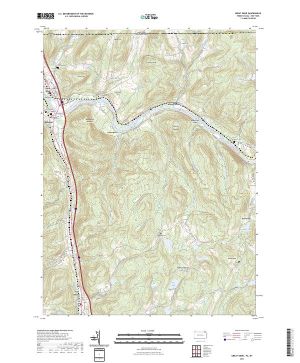
2023 Great Bend
Susquehanna County, PA
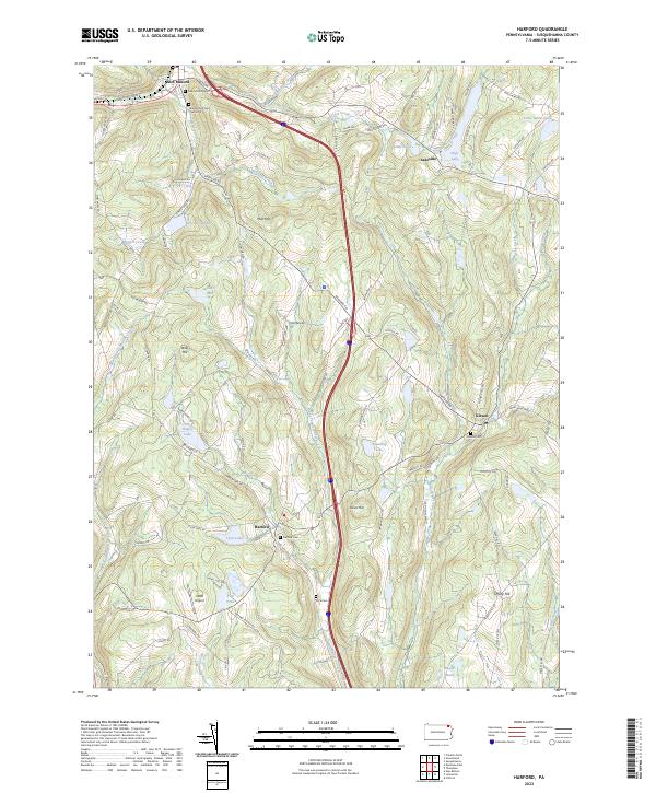
2023 Harford
Susquehanna County, PA
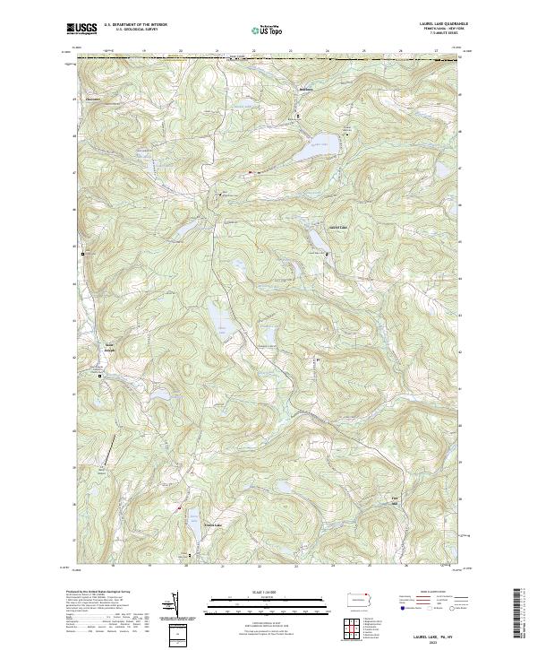
2023 Laurel Lake
Susquehanna County, PA
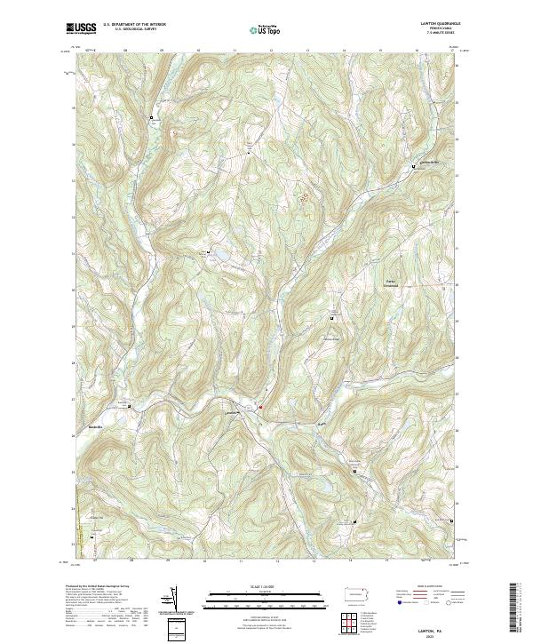
2023 Lawton
Susquehanna County, PA
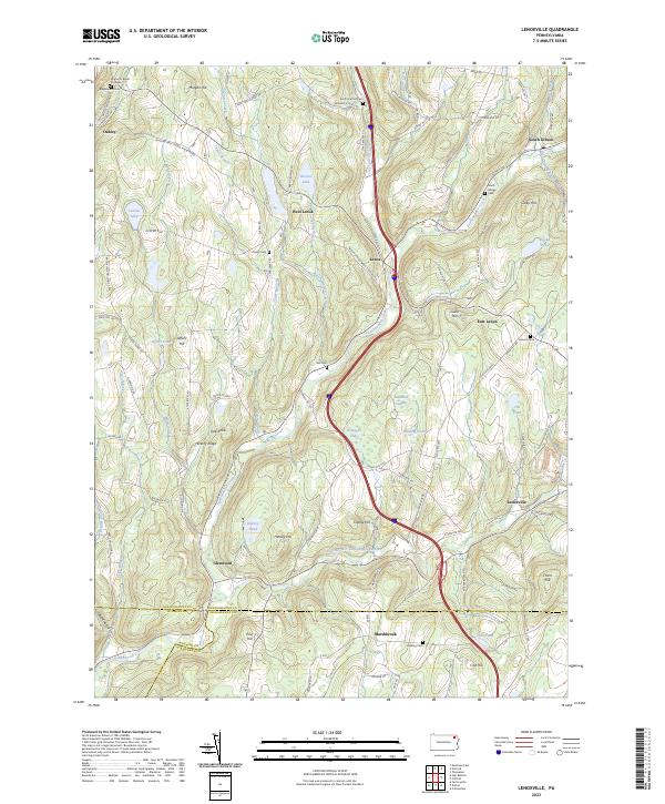
2023 Lenoxville
Susquehanna County, PA
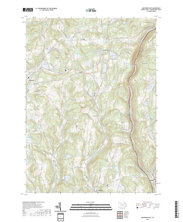
2023 Montrose East
Susquehanna County, PA
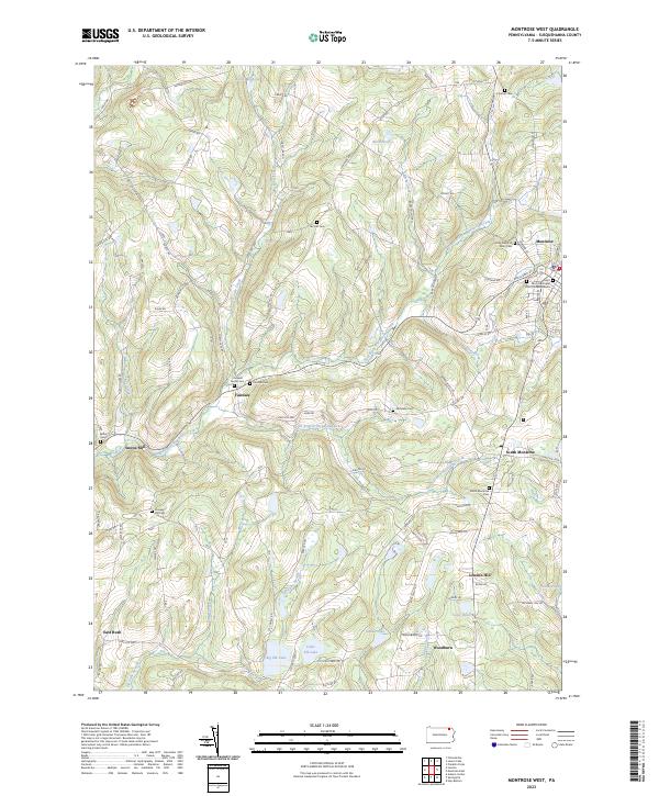
2023 Montrose West
Susquehanna County, PA
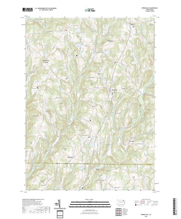
2023 Springville
Susquehanna County, PA
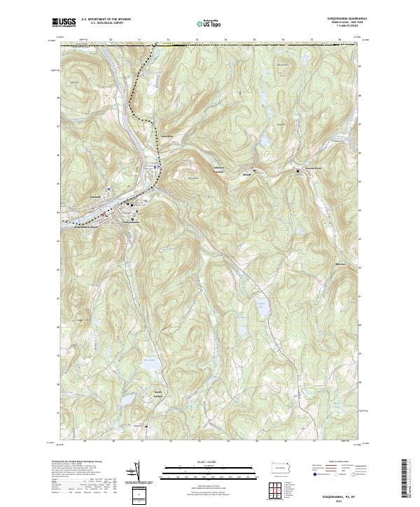
2023 Susquehanna
Susquehanna County, PA