
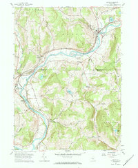
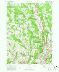
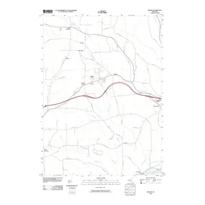
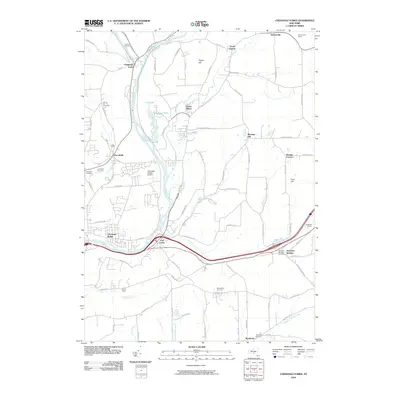
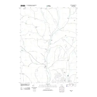
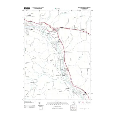
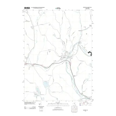
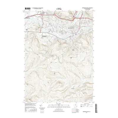
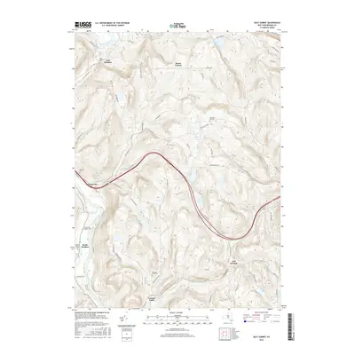
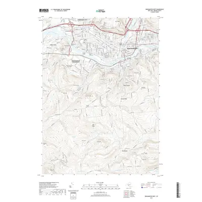
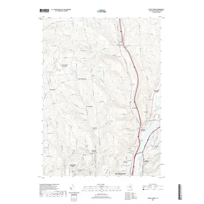
1935 Map of Binghamton West
USGS Topo · Published 1935About this map
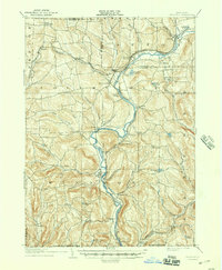
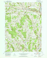
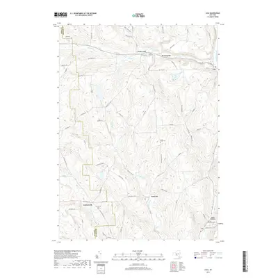
The Susquehanna River and Chenango River converge here, anchoring a landscape that in the mid-1930s was sharply divided between dense urban development and high-elevation rural homesteads. The city of Binghamton dominates the northeastern corner, shown in high detail with prominent landmarks such as the Post Office, Courthouse, and multiple hospitals. Beyond the city limits, the map traces the early suburban expansion into Oakdale and Stella, while the southern reaches of the quadrangle remain dominated by the steep topography of South Mountain and Table Rock Ridge. This 1935 survey captures the transition from a river-and-rail hub, served by the Erie and Delaware Lackawanna and Western railroads, to an area beginning to feel the influence of local road development such as Riverside Drive. Genealogists will find particular value in the identified rural schoolhouses like Grove Sch and cemeteries such as St Patrick Cemetery and the massive Spring Forest Cemetery.
Find a feature on this map
62 named features on this map. Tap any name to fly to it.
Don’t see what you’re looking for? This feature index may not catch every label — zoom into the map to look around manually.
Map Details
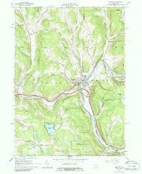
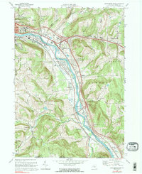
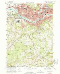
Editions of this 1935 Binghamton West Map
This is the sole edition of this map. No revisions or reprints were ever made.
Historical Maps of Union Through Time
82 maps found
1905 Nineveh
Broome County, NY

1934 Castle Creek
Broome County, NY
1935 Binghamton West
Broome County, NY

1935 Chenango Forks
Broome County, NY

1937 Binghamton East
Broome County, NY
1942 Binghamton East
Broome County, NY

1942 Binghamton West
Broome County, NY
1942 Castle Creek
Broome County, NY
1942 Chenango Forks
Broome County, NY
1949 Lisle
Broome County, NY

1950 Chenango Forks
Broome County, NY

1951 Lisle
Broome County, NY
1952 Gulf Summit
Broome County, NY
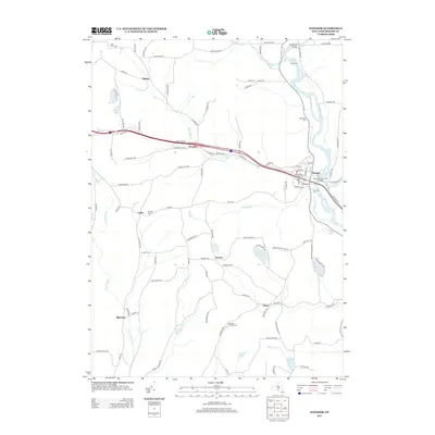
1952 Windsor
Broome County, NY
1956 Maine
Broome County, NY
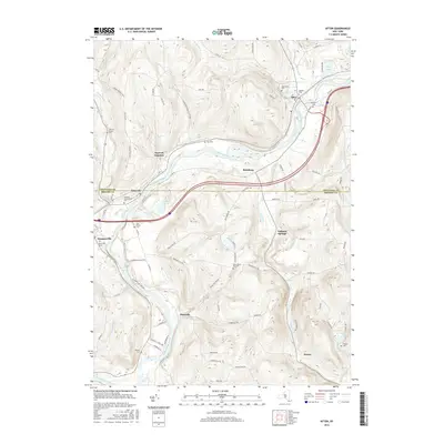
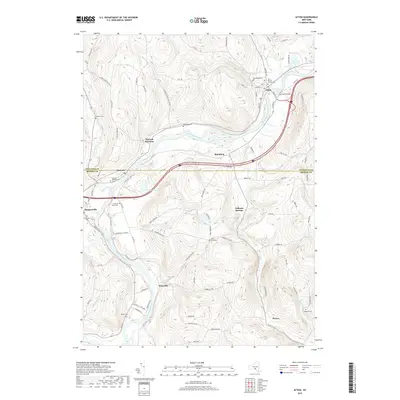
1957 Afton
Broome County, NY

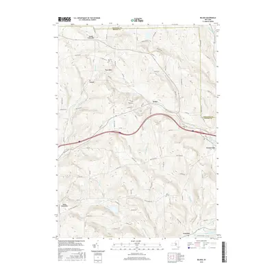
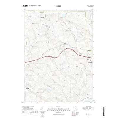
1957 Belden
Broome County, NY

1960 Chenango Forks
Broome County, NY

1961 Binghamton East
Broome County, NY

1961 Binghamton West
Broome County, NY

1961 Castle Creek
Broome County, NY
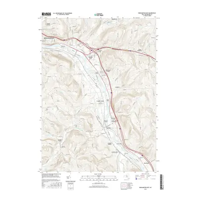
1965 Deposit
Broome County, NY
1968 Binghamton East
Broome County, NY
1968 Binghamton West
Broome County, NY
1968 Castle Creek
Broome County, NY
1968 Chenango Forks
Broome County, NY
1969 Maine
Broome County, NY
2010 Afton
Broome County, NY
2010 Belden
Broome County, NY
2010 Binghamton East
Broome County, NY
2010 Binghamton West
Broome County, NY
2010 Castle Creek
Broome County, NY
2010 Chenango Forks
Broome County, NY
2010 Deposit
Broome County, NY
2010 Gulf Summit
Broome County, NY
2010 Lisle
Broome County, NY
2010 Maine
Broome County, NY
2010 Windsor
Broome County, NY
2013 Afton
Broome County, NY
2013 Belden
Broome County, NY
2013 Binghamton East
Broome County, NY
2013 Binghamton West
Broome County, NY
2013 Castle Creek
Broome County, NY
2013 Chenango Forks
Broome County, NY
2013 Deposit
Broome County, NY
2013 Gulf Summit
Broome County, NY
2013 Lisle
Broome County, NY
2013 Maine
Broome County, NY
2013 Windsor
Broome County, NY
2016 Afton
Broome County, NY
2016 Belden
Broome County, NY
2016 Binghamton East
Broome County, NY
2016 Binghamton West
Broome County, NY
2016 Castle Creek
Broome County, NY
2016 Chenango Forks
Broome County, NY
2016 Deposit
Broome County, NY
2016 Gulf Summit
Broome County, NY
2016 Lisle
Broome County, NY
2016 Maine
Broome County, NY
2016 Windsor
Broome County, NY
2019 Afton
Broome County, NY
2019 Belden
Broome County, NY
2019 Binghamton East
Broome County, NY
2019 Binghamton West
Broome County, NY
2019 Castle Creek
Broome County, NY
2019 Chenango Forks
Broome County, NY
2019 Deposit
Broome County, NY
2019 Gulf Summit
Broome County, NY
2019 Lisle
Broome County, NY
2019 Maine
Broome County, NY
2019 Windsor
Broome County, NY

2023 Afton
Broome County, NY

2023 Belden
Broome County, NY

2023 Binghamton East
Broome County, NY

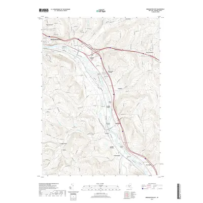
2023 Binghamton West
Broome County, NY

2023 Castle Creek
Broome County, NY

2023 Chenango Forks
Broome County, NY

2023 Deposit
Broome County, NY

2023 Gulf Summit
Broome County, NY

2023 Lisle
Broome County, NY

2023 Maine
Broome County, NY

2023 Windsor
Broome County, NY