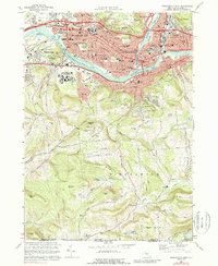
1968 Map of Binghamton West
USGS Topo · Published 1988About this map
Binghamton and Johnson City dominate the northern landscape of this survey, where the Susquehanna River meets the Chenango River. The urban core is a dense network of civic and religious institutions, including the Courthouse, City Hall, and numerous parish schools like St Patricks Sch. The Erie-Lackawanna railroad lines parallel the river, serving industrial sites like the Powerplant near Westover.
Find a feature on this map
100 named features on this map. Tap any name to fly to it.
Don’t see what you’re looking for? This feature index may not catch every label — zoom into the map to look around manually.
Map Details
Editions of this 1968 Binghamton West Map
Other maps of this area

1901 · Apalachin
USGS Topo · 1:62,500

1904 · Binghamton
USGS Topo · 1:62,500

1904 · Apalachin
USGS Topo · 1:62,500

1906 · Catatonk
USGS Topo · 1:125,000

1934 · Castle Creek
USGS Topo · 1:24,000

1935 · Binghamton West
USGS Topo · 1:24,000

1935 · Chenango Forks
USGS Topo · 1:24,000

1937 · Binghamton East
USGS Topo · 1:24,000

1942 · Binghamton West
USGS Topo · 1:31,680

1942 · Castle Creek
USGS Topo · 1:31,680