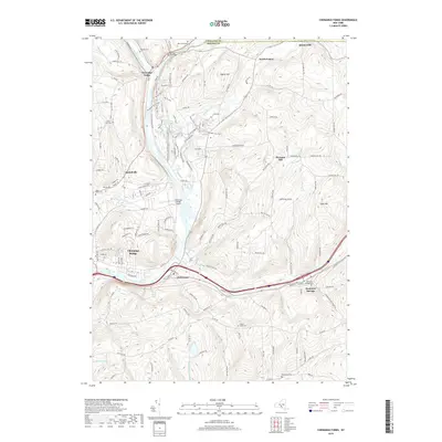
2019 Map of Chenango Forks
USGS Topo · Published 2019About this map
The Chenango River and Tioughnioga River converge at the northern edge of this landscape, anchoring the village of Chenango Forks. The river valley acts as a central artery for transportation and settlement, with Chenango Bridge and Port Crane established along its banks. The rugged terrain surrounding the river is dotted with family and community burial grounds, such as Toombs Cem, Sandy Brook Cem, and the State Road Cem.
Find a feature on this map
137 named features on this map. Tap any name to fly to it.
Don’t see what you’re looking for? This feature index may not catch every label — zoom into the map to look around manually.
Map Details
Editions of this 2019 Chenango Forks Map
This is the sole edition of this map. No revisions or reprints were ever made.
Other maps of this area

1902 · Coventry
USGS Topo · 1:62,500

1904 · Binghamton
USGS Topo · 1:62,500

1904 · Greene
USGS Topo · 1:62,500

1904 · Oxford
USGS Topo · 1:62,500

1905 · Nineveh
USGS Topo · 1:62,500

1934 · Castle Creek
USGS Topo · 1:24,000

1935 · Binghamton West
USGS Topo · 1:24,000

1935 · Chenango Forks
USGS Topo · 1:24,000

1937 · Binghamton East
USGS Topo · 1:24,000

1942 · Binghamton West
USGS Topo · 1:31,680