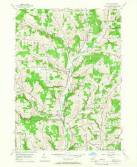
1956 Map of Maine
USGS Topo · Published 1967About this map
The valley of Nanticoke Creek serves as the primary corridor for settlement in this mid-century survey of the Broome County countryside. The village of Maine sits centrally, marked by its benchmark of 919 feet, while the surrounding landscape is defined by family-named heights such as Pollard Hill, King Hill, and Hardy Hill. The distribution of burial grounds, including the North Maine Cem, Allentown Cem, and Hallenbeck Cem, provides a detailed record of the rural communities and families who established these upland farms. To the south, the terrain transitions toward Union Center and the edge of the Binghamton Country Club. A dense network of local routes like Death Valley Road and Pitgan Hill Road connects small hamlets such as Bradley and Whittemore, tracing the complex drainage of Crocker Creek and Twist Run.
Find a feature on this map
61 named features on this map. Tap any name to fly to it.
Don’t see what you’re looking for? This feature index may not catch every label — zoom into the map to look around manually.
Map Details
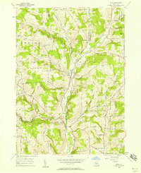
Editions of this 1956 Maine Map
2 editions found
Other maps of this area

1901 · Apalachin
USGS Topo · 1:62,500

1903 · Harford
USGS Topo · 1:62,500

1904 · Binghamton
USGS Topo · 1:62,500

1904 · Greene
USGS Topo · 1:62,500

1904 · Apalachin
USGS Topo · 1:62,500

1906 · Catatonk
USGS Topo · 1:125,000

1934 · Castle Creek
USGS Topo · 1:24,000

1935 · Binghamton West
USGS Topo · 1:24,000

1942 · Binghamton West
USGS Topo · 1:31,680

1942 · Castle Creek
USGS Topo · 1:31,680