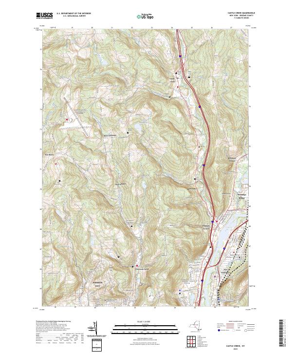
2023 Map of Castle Creek
USGS Topo · Published 2023About this map
The Chenango River valley serves as a primary corridor for settlement and transportation in this Broome County region, where urban development from Johnson City and Port Dickinson transitions into the upland ridges of the Southern Tier. The landscape is defined by its deep cultural and educational roots, anchored by SUNY Broome Community College and a diverse array of denominational landmarks including Saint John Ukranian Orthodox Parish Cem and Saint Stanislaus Kostka Roman Catholic Cem. The higher elevations to the west are home to the Greater Binghamton Airport/Edwin A Link Field, while the surrounding terrain is marked by family-named land features like Deyo Hill and numerous small-scale settlements such as Choconut Center and New Ireland, each linked by a network of winding county roads following drainages like Finch Hollow and Brooks Creek.
Find a feature on this map
123 named features on this map. Tap any name to fly to it.
Don’t see what you’re looking for? This feature index may not catch every label — zoom into the map to look around manually.
Map Details
Editions of this 2023 Castle Creek Map
This is the sole edition of this map. No revisions or reprints were ever made.
Other maps of this area

1901 · Apalachin
USGS Topo · 1:62,500

1903 · Harford
USGS Topo · 1:62,500

1904 · Binghamton
USGS Topo · 1:62,500

1904 · Greene
USGS Topo · 1:62,500

1904 · Apalachin
USGS Topo · 1:62,500

1906 · Catatonk
USGS Topo · 1:125,000

1934 · Castle Creek
USGS Topo · 1:24,000

1935 · Binghamton West
USGS Topo · 1:24,000

1935 · Chenango Forks
USGS Topo · 1:24,000

1937 · Binghamton East
USGS Topo · 1:24,000