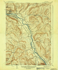
1942 Map of Binghamton East
USGS Topo · Published 1942About this map
The Susquehanna River carves a deep valley through the southern tier of New York on the eve of World War II, serving as a primary transportation corridor for three major rail lines. The Erie, Delaware and Hudson, and Delaware Lackawanna and Western railroads all parallel the river, connecting industrial Binghamton to the Pennsylvania border. This transit-heavy landscape supported numerous small hamlets and local institutions, including the expansive State Hospital grounds and a dense network of rural schoolhouses such as School No 11 and the Julius Rogers Sch. South of the city, the topography transitions into steep ridges and hollows, where communities like Conklin Forks and Corbettsville developed along the winding paths of Snake Creek and Conklin Creek. The map documents a highly structured rural society defined by its relationship to the water-level rail routes and the high, dissected plateau farms.
Find a feature on this map
53 named features on this map. Tap any name to fly to it.
Don’t see what you’re looking for? This feature index may not catch every label — zoom into the map to look around manually.
Map Details
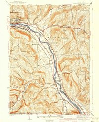
Editions of this 1942 Binghamton East Map
3 editions found

Other maps of this area

1904 · Binghamton
USGS Topo · 1:62,500

1905 · Nineveh
USGS Topo · 1:62,500

1932 · Susquehanna
USGS Topo · 1:62,500

1934 · Castle Creek
USGS Topo · 1:24,000

1935 · Binghamton West
USGS Topo · 1:24,000

1935 · Chenango Forks
USGS Topo · 1:24,000

1935 · Susquehanna
USGS Topo · 1:62,500

1937 · Binghamton East
USGS Topo · 1:24,000

1942 · Binghamton West
USGS Topo · 1:31,680

1942 · Castle Creek
USGS Topo · 1:31,680