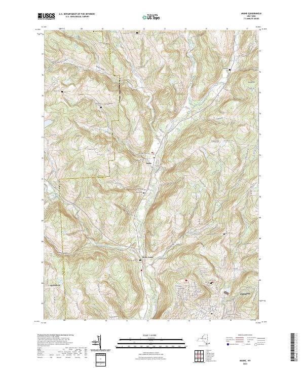
2023 Map of Maine
USGS Topo · Published 2023About this map
The Nanticoke Creek valley forms the central corridor of this modern survey, where small hamlets and family-named cemeteries are tucked into the rising hills of Broome and Tioga counties. Settlement clusters around the town of Maine and the village of Union Center, while the southern edge of the sheet transitions into the suburban layout of Endwell. This landscape is defined by its deep genealogical markers, with numerous burial grounds such as Maine Cem, Oak Hill Cem, and the Broas Family Cem providing a physical link to the area's early residents.
Find a feature on this map
76 named features on this map. Tap any name to fly to it.
Don’t see what you’re looking for? This feature index may not catch every label — zoom into the map to look around manually.
Map Details
Editions of this 2023 Maine Map
This is the sole edition of this map. No revisions or reprints were ever made.
Other maps of this area

1901 · Apalachin
USGS Topo · 1:62,500

1903 · Harford
USGS Topo · 1:62,500

1904 · Binghamton
USGS Topo · 1:62,500

1904 · Greene
USGS Topo · 1:62,500

1904 · Apalachin
USGS Topo · 1:62,500

1906 · Catatonk
USGS Topo · 1:125,000

1934 · Castle Creek
USGS Topo · 1:24,000

1935 · Binghamton West
USGS Topo · 1:24,000

1942 · Binghamton West
USGS Topo · 1:31,680

1942 · Castle Creek
USGS Topo · 1:31,680